
Learn hands-on how a digital terrain model and a vector dataset of main streams can be used to make flood zoning maps for these main streams, and what the practical use of such a map is.
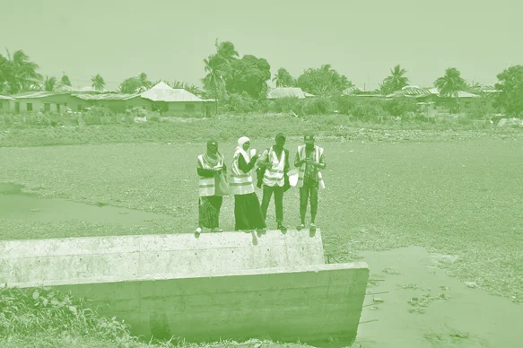
Resilience Academy: Flood zone mapping
Msilikale Msilanga
Resilience Academy