
The community
Where the urban-resilience community connects
Students, mappers, data managers, researchers and local leaders learning together, sharing open data and building resilience as one community of practice.
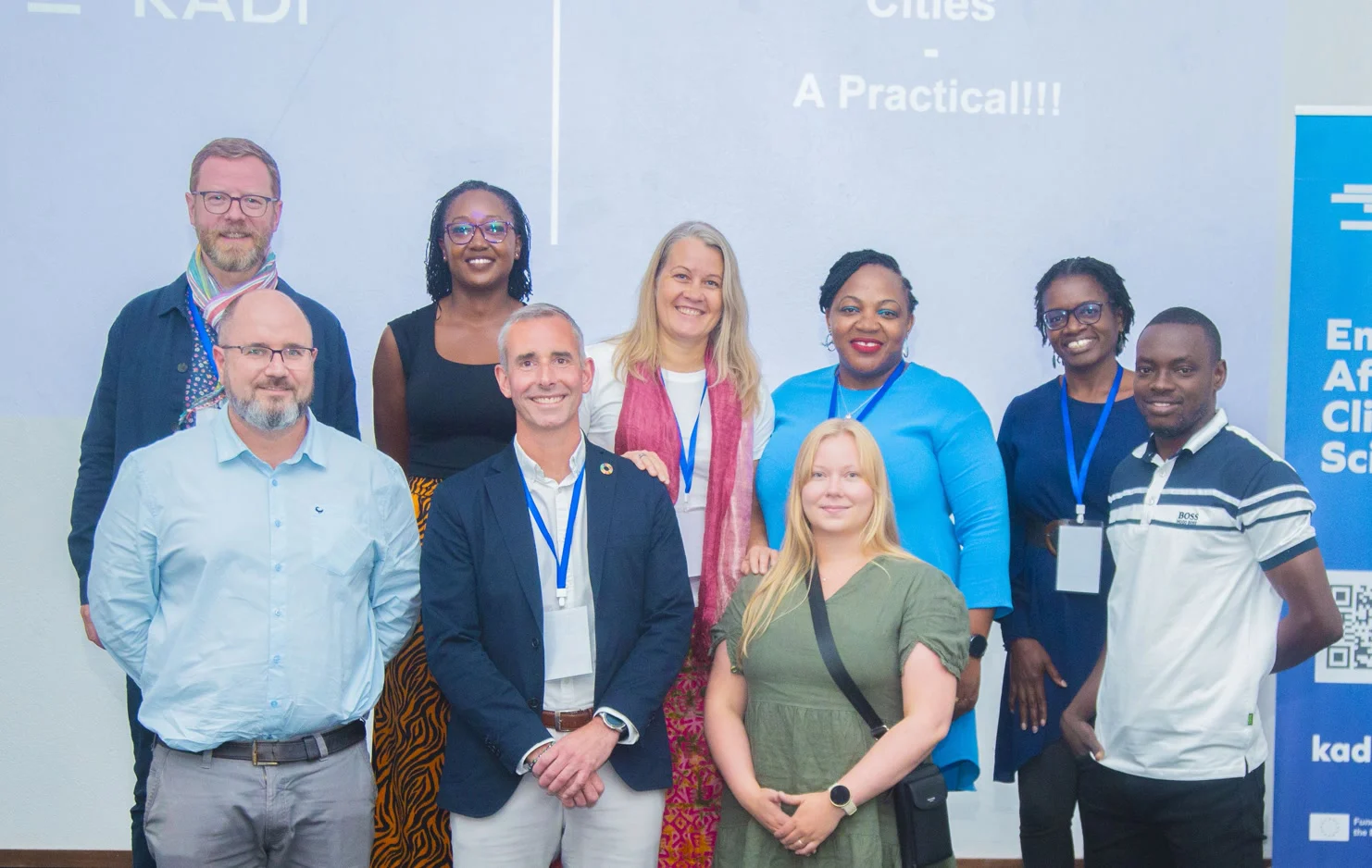
A project delivers outputs and closes. A community keeps a practice alive.
The World Bank established Resilience Academy as a project, with a clear goal and a fixed timeline. When that timeline ended, most of what it had built could have ended with it. Instead, the four Tanzanian universities chose to carry it forward, running the Academy themselves as an ongoing inter-university community.
Ownership moved from a donor programme to the institutions, with a Secretariat at the University of Turku and the Tanzania ICT Commission linking the community to the cities that use its work. That decision changed what Resilience Academy is.
A community of practice that serves everyone in it
A product copies a template and reports back to head office. A community of practice shares what works and learns together. Each new Resilience Academy adapts the model to its own city and universities, then contributes its experience back to everyone else.
Students
Gain employable skills and real experience, and give their energy and fresh data back to the community.
Experts & institutions
Gain capacity, data for teaching and decisions, and a role in mentoring the next generation.
Get involved
Four ways to be part of it
Whether you are a student, a mapper, a data manager or a curious professional, there is a place for you in the community.
Connect
Join community groups and meet peers across universities, cities and partner organisations.
Learn
Take part in workshops, webinars and courses, and tap into shared learning resources.
Contribute
Map your neighbourhood, collect and share data, and help grow the Climate Risk Database.
Compete
Team up for the annual Data Visualisation Challenge and community mapathons.
Communities of practice
Find your group
Join a thematic community of practice on the DIDAlhub platform to learn, share data and collaborate with peers across Tanzania.
Flood Mapping
320 membersCommunity mapping of flood-prone areas, drainage and urban risk.
Join group →Geospatial Data
540 membersStandards, tools and quality assurance for open geospatial data.
Join group →Drone & Remote Sensing
180 membersAerial imagery, photogrammetry and UAV mapping practice.
Join group →Events & activities
What's happening in the community

Data Visualisation Challenge
University teams from across Tanzania compete to build the best geospatial data-visualisation solutions using open data from the Climate Risk Database — learning together and pitching their work to a panel.
Learn more →Community Mapathon
MonthlyMap flood-prone wards together, on-site or remotely.
Geospatial Webinar Series
Bi-weeklyLive sessions on tools, methods and case studies.
Data Managers Meetup
QuarterlyAlign on data standards and quality assurance.
Field Training Workshop
SeasonalHands-on GPS, ODK and QGIS for new mappers.
Voices
From our community
“The community is where my degree finally clicked. Mapping my own ward with peers, then seeing that data used by the city — it changed how I think about my work.”
Amina H.
Geomatics student · Ardhi University
“As a data manager, the practice groups keep our standards sharp. We solve problems together instead of in isolation, and the whole database is better for it.”
Joseph M.
CRD Data Manager
A growing community of practice
Community members
Communities of practice
Partner universities
Events each year
Join it, partner with it, or start one where you are
The community is open by design. Get in touch to explore partnership, host the model at your institution, or learn from what the community has built.