
Our projects
Projects that turn data into resilience
Across Tanzania and beyond, Resilience Academy partners on projects that map hazards, open up geospatial data and help communities and cities plan for a changing climate.
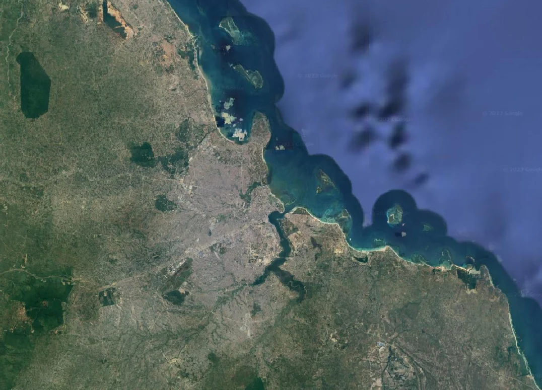
Funded projects
Currently funded projects
The two active grants running Resilience Academy's work today — each one named, badged and counted here.
How we work
Applied projects, built with partners
Our projects are hands-on and partner-led. Working with universities, government and communities, we collect and open geospatial data, then put it to work in real planning and disaster-risk decisions — the same data that trains our student interns and fills the Climate Risk Database.
Flood risk mapping
Community mapping of flood-prone wards and drainage.
Coastal resilience
Monitoring coastal erosion and sea-level risk.
Urban planning & land use
Data to guide land-use and infrastructure decisions.
Drone & remote sensing
Aerial imagery for high-resolution basemaps.
Community mapping
Residents mapping their own neighbourhoods.
Climate & disaster data
Open datasets feeding the Climate Risk Database.
Our Living Lab approach
A living lab for climate resilience
Every project is a living lab: universities, government, the private sector and communities design and test solutions together — in real neighbourhoods and cities, not in a classroom.
01
Explore
Understand the challenge with the people who live it.
02
Co-create
Design solutions together with every sector.
03
Experiment
Test them in real neighbourhoods and cities.
04
Evaluate
Measure what changed and share what we learned.
Who we work with
10
Universities & research
Teach, research and train the next generation.
7
Government
Set policy and use the data in planning.
6
Private sector
Build tools, services and technical solutions.
3
Communities
Map their own neighbourhoods and shape the solutions.
4
Funders & supporters
Make the work possible.
Featured work
Some of our Projects
A selection of current and recent projects mapping risk and building resilience together with our partners.
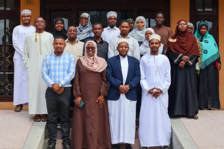
Resilience Academy for BLUE-ZAN
A 2026–2027 project, funded by Finland’s Ministry for Foreign Affairs through the Finnish Environment Institute (Syke), in which the Resilience Academy builds a group-based student internship model between SUZA and Zanzibar’s government institutions for collecting and managing coastal and marine geospatial data.
Experiment phase
· 2 of 4 sectors
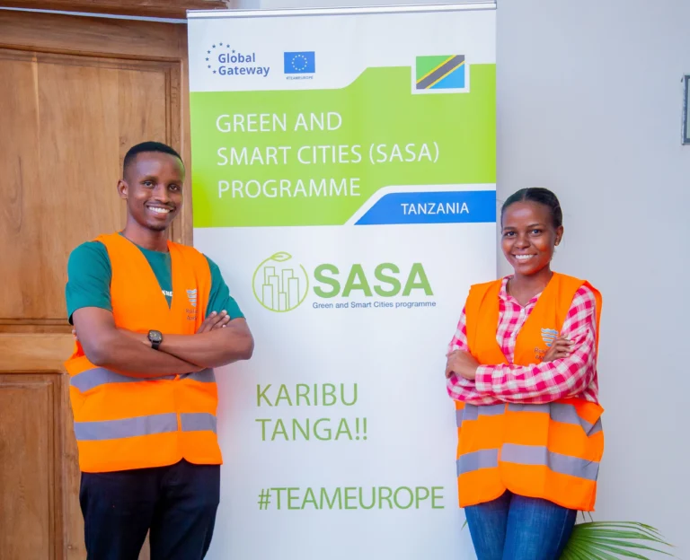
Resilience Academy for ProWAS-SASA
A 2024–2026 GIZ-funded (BMZ and EU / Team Europe) project where the Tanzania Resilience Academy builds open geospatial data, digital skills and community-youth solutions for climate-resilient water management in Tanga and Mwanza.
Experiment phase
· 1 of 4 sectors
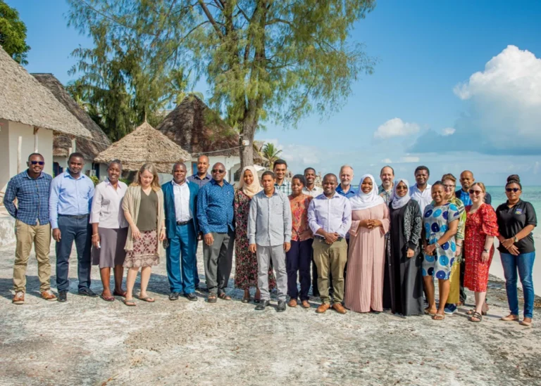
GeoICT4e
A 2020–2024, €2.44M Finnish-funded (HEI-ICI) eight-university partnership transforming geospatial and ICT education at Tanzanian universities through multi-competence, challenge-based learning.
Evaluate phase
· 1 of 4 sectors
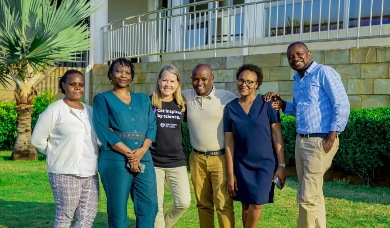
Tanzania Resilience Academy
A World Bank–funded, Tanzanian university partnership that builds youth digital skills and open climate-risk data for urban resilience.
Experiment phase
· 2 of 4 sectors
Projects with measurable impact
Open datasets published
Students engaged
Partner universities
CRD data users
Delivered with our partners
Universities and organisations we work with













Have a project in mind?
Partner with Resilience Academy to map hazards, open geospatial data and build resilience with communities across Tanzania.