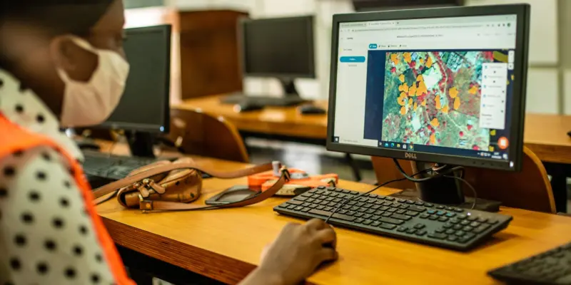

Digitizing building footprints from satellite (Maxar) and drone imagery into OpenStreetMap and the Climate Risk Database, using the HOT Tasking Manager and JOSM.
You need a Resilience Academy account to join this program.
Need help? Email resilienceacademyorg@gmail.com