
Learn what geospatial datasets and open-source tools can be used to make geovisualisations and digital maps. Know how to use open source GIS software and different geovisualisation tools for static and dynamic geodata visualisations and students know the opportunities and limitations related to these tools.
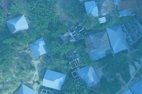
Resilience Academy: Geovisualisation tools
Msilikale Msilanga
Resilience Academy