
News & Updates
Search articles…
Top stories
More stories

A Handbook for Community Urban Risk Mapping
The activities undertaken by Ramani Huria over the last four years stood as a model for a Handbook for Community Urban Risk Mapping. By helping communities to map residential areas, roads, streams, floodplains, and other relevant features, projects like Dar Ramani Huria bring disaster prevention and response to areas that were previously off the map, […]
Read more →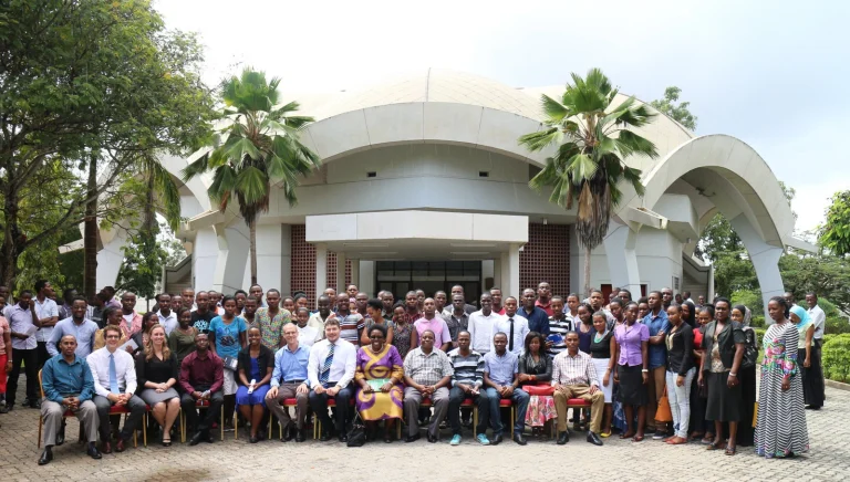
Welcome to the Resilience Academy
⅔ of African residents are in slum areas which are not planned. Since the cities are growing fast in Africa, slums increases to cities in Africa every year. On the other hand, education system in Africa is given based on theory and curriculums which follow imaginations instead of real and practical problems. Therefore, many people […]
Read more →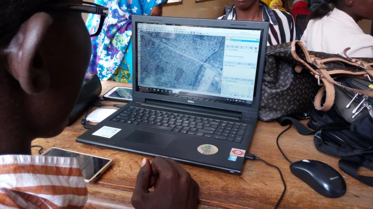
Tanzania’s preparedness for climate challenges is supported by cooperation between the Geo-ICT partners
Photo credits: Ramani Huria, https://www.flickr.com/photos/ramanihuria/ The World Bank has granted funding for the five Geo-ICT partners, University of Turku, Ardhi University, Sokoine University of Agriculture, State University of Zanzibar, and University of Dar es Salaam in developing geospatial expertise to control risks posed by floods and climate change. Cities in Tanzania are especially vulnerable […]
Read more →
Assessing the Geomorphological Characteristics of Soil in Dar es Salaam
Assessing soil characteristics of the city to help in understanding flood risks and develop flood models that will help in flood mitigation plans Since its kick off in 2015, the Ramani Huria Project has collected numerous amount of data to help mitigating and planning for flooding in Dar es Salaam. Data collected include historical flood […]
Read more →Tanzanian young experts’ visit to Finland
During September – November 2018, we had the pleasure to host a group of seven young project experts at the University of Turku (UTU) in Finland, Departments of Geography and Geology, and Future Technologies. The experts came from the project’s four Tanzanian partner universities, and different scientific backgrounds. They all work as teaching staff at […]
Read more →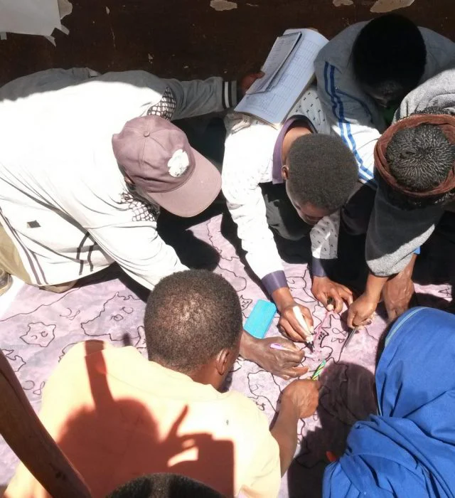
The report on the participatory mapping tools in official VLUP process in Tanzania is out now!
A report on the participatory mapping tools in official village land use planning process in Tanzania is out now! The report is published together by UTU Tanzania team and Private Forestry Programme and it lays out step by step The tools have already been adopted into practice in five districts of the Southern Highlands and […]
Read more →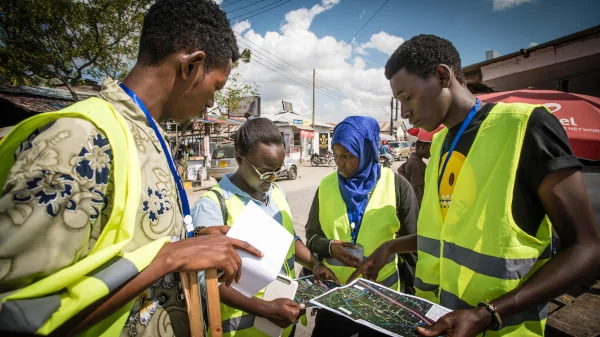
Students Complete Industrial Training – 228 Mapped Subwards and Action Maps for Disaster Management of Dar es Salaam
2018 has been a year for floods. In March, excessive rains in East Africa killed nearly 500 people. In July, Japan saw heavy downpours which led to widespread devastation with more than 200 deaths. In August, another 300 people lost their lives in Kerala, India during the worst monsoon in nearly a century. And just […]
Read more →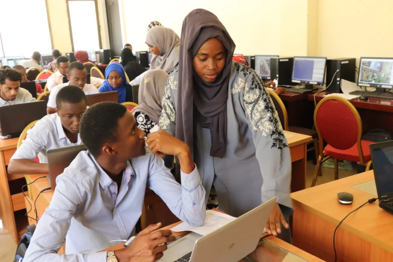
Two Hundred Subwards of Dar es Salaam to be Mapped by University Students in the Next Six Weeks
[:en]On the 23rd of July 2018, Humanitarian Openstreetmap Team (HOT) began scaling up the World Bank funded Dar Ramani Huria project, training over 400 students who will map flood hazards in Dar es Salaam. This year Ramani Huria is working with students from the University of Dar es Salaam and Ardhi University, aiming to extend […]
Read more →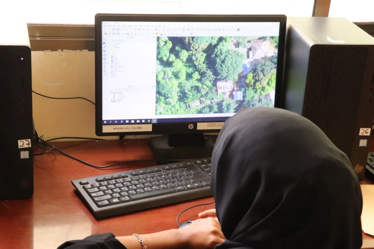
Mapping for EBOLA in DRC Congo: Creating spatial data sets to help responders in the field
“These people have never been mapped, nobody has ever cared enough about them to even know where their house is. So these houses that you have been tracing today, is the first time that anyone has ever cared enough about those people in that distant part of the Congo enough to know where they live […]
Read more →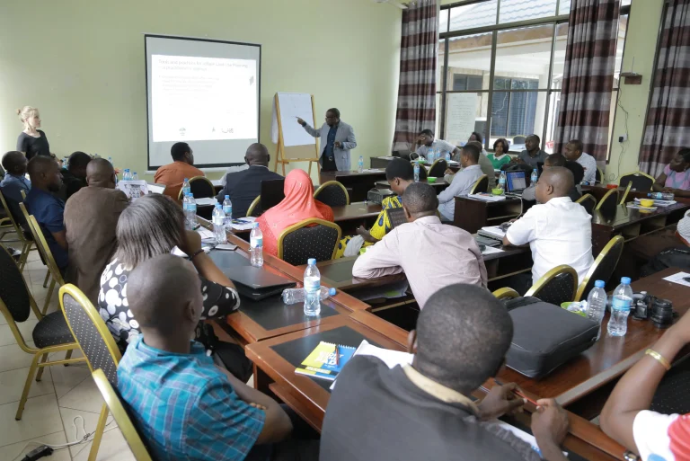
Our research on participatory mapping yields tools for official land use planning in Tanzania
Throughout 2017 UTU Tanzania team co-developed a practitioners’ manual on participatory mapping tools for official village land use planning in Tanzania. Finally early this April the manual was presented and refined in a three-day stakeholder workshop. The workshop gathered together over 40 Tanzanian land use planning actors among them academia, authorities and NGOs. It was an inspiring forum for sharing […]
Read more →Geo-ICT activities 2017
As the wrap-up of last year’s project activities is topical right now, it is time to look back and see what we have achieved during the first year of our Geo-ICT project. Since the beginning of the project, we have organized several workshops and trainings for the project staff and stakeholders. In the project kick-off […]
Read more →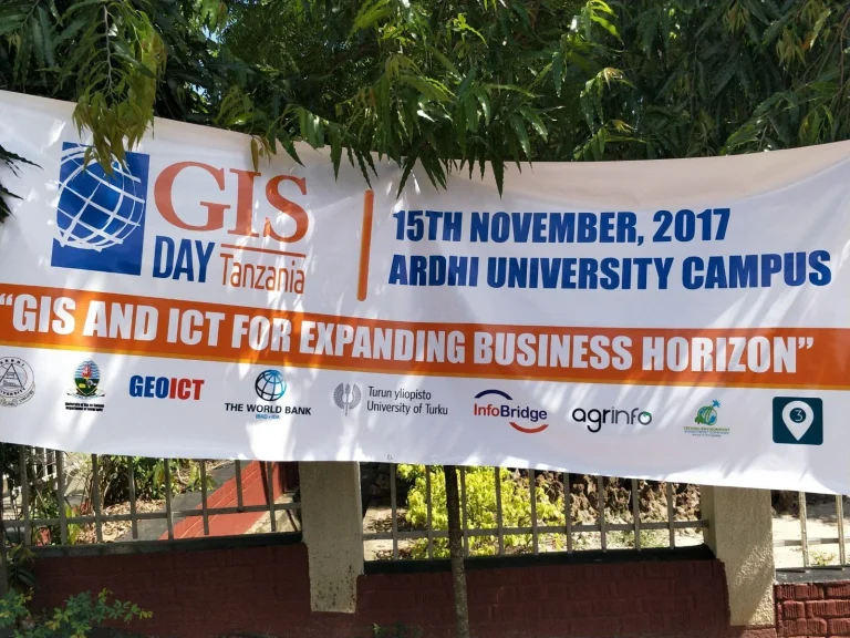
GIS day Tanzania
Several geospatial organizations, businesses and education institutions gathered to celebrate the GIS day Tanzania and present their activities to the public at Ardhi University, Dar es Salaam on November 15th. The Geo-ICT project team participated in GIS day Tanzania this year as both organizers and exhibitors. In addition to the GIS exposition, the afternoon programme […]
Read more →Events
View all events →No upcoming events right now
New training sessions, workshops and webinars are announced here. Check back soon, or browse past events.
No past events yet
Recordings and summaries of past sessions will appear here.