
News & Updates
Search articles…
Top stories
More stories
New project GEO-ICT started
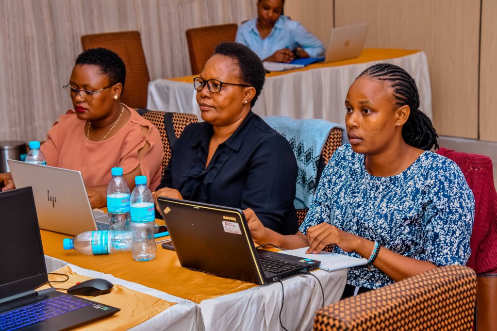
We have received funding from the Ministry for Foreign Affairs of Finland (HEI-ICI programme) for a project “Geospatial and ICT capacities in Tanzanian Higher Education Institutions (Geo-ICT)”. The project is about improving the quality of higher education and research environment in geospatial and ICT capacities, and strengthening the role and relevance of these sectors in […]
Read more →Geospatial Collaboration Supports Business Development in Tanzania
Tanzania offers Finnish geospatial companies a possibility to become international and to create new services. At the same time, the companies take sustainable business to Tanzania and support the development of local business culture. The University of Turku is involved in the project that aims to develop new business solutions related to geospatial and […]
Read more →Geospatial Business Ecosystem project has started with three Finnish companies
Geospatial business ecosystem in Tanzania (GESEC) is a project consortium of University of Turku (UTU) and three Finnish geospatial companies: Arbonaut Oy, Dimenteq O and Vionice Oy and their business and academic partners in Tanzania. The project is implemented through a time period of 2 years together by the UTU Departments of Geography and Geology […]
Read more →First Impressions of Ramani Huria: the rise of the Community Mapper
[:en]Currently 70% of the infrastructure in Dar es Salaam is unplanned, meaning that structures are often built in flood areas and are not adequately built to cope with high waters. Often, even unplanned buildings that are relatively ‘safe’ from flooding have huge consequences on the surrounding area; improper planning has led to an increase of […]
Read more →Geospatial Technology in Tanzania
Geospatial technology is used in many ways in Tanzania, and it enables people to make smart decisions in the society. The GIS day Tanzania day is coming up Wednesday 15th November – meet our project team there and learn more!
Read more →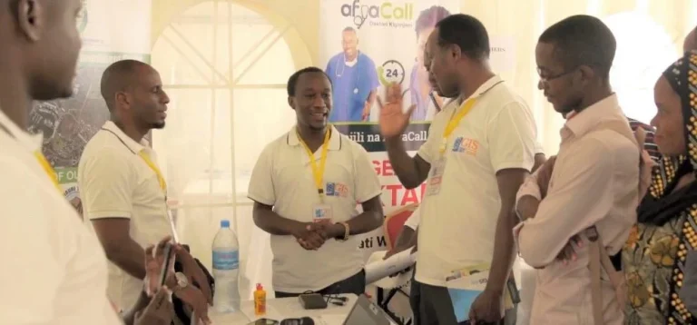
Tanzania GIS Day on November 15th
Geo-ICT project will be visible at the Tanzania GIS Day event in November at the University of Dar es Salaam! On November 15th, GIS Day events are organized all around the globe. GIS Day Tanzania is held at the University of Dar es Salaam, Department of Geography, in collaboration with the University’s stakeholders. GIS Day […]
Read more →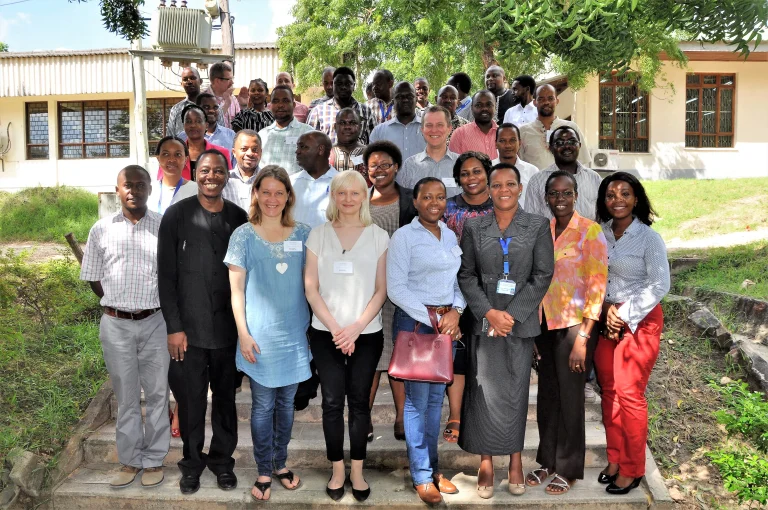
New HEI-ICI project has started
We have received funding from the Ministry for Foreign Affairs of Finland (HEI-ICI programme) for a project “Geospatial and ICT capacities in Tanzanian Higher Education Institutions (Geo-ICT)”. The project is about improving the quality of higher education and research environment in geospatial and ICT capacities, and strengthening the role and relevance of these sectors in […]
Read more →Using Drone Imagery to Generate Flood Inundation Models
[:en] Tandale Flood Inundation Model Dar es Salaam is the largest city of Tanzania, it has an estimated 5.5 million residents and is also an economic centre for Tanzania and East Africa. Offset with this economic and social importance, Dar es Salaam has a tropical climate, experiencing two rainy seasons in a year (April – […]
Read more →Installing a 3D Printing Weather Station in Tandale
[:en]Accurate and precise weather information is critical to preparing for extreme weather events, such as flooding. In Tanzania, the weather forecasts are primarily conducted by the Tanzanian Meteorological Agency (TMA) and are available through their website. But, the forecasts are at a regional level, the question is, how can we get an understanding of weather […]
Read more →Creating Worldpop Inasafe Integration
[:en]Make the world’s population open data more accessible. As part of procedures in preparing better plans and risk reductions against natural disasters, Disaster Managers need accurate population data for the affected area. This helps in many ways from determining the scale of the disaster, impact assessment and analysis to planning for disaster resilience. There are […]
Read more →Mapping Bicycle Routes During Dar es Salaam’s Cycle Caravan
Each year, 5th June marks World Environment Day, a day for raising global awareness to take positive environmental action to protect nature and the planet Earth. This year’s Sunday 5th June saw UWABA (Umma wa Wapanda Baiskeli; or “Public Cycling Community”), a cycling community in Dar es Salaam in cooperation with European Union, organizing the […]
Read more →How are the maps being used in the wards?
[:en]Guest post by Mercedes Hoffay, Master of Public Administration Candidate – Columbia University All policy students are obsessed with the effectiveness and feasibility of policies and programs that governments implement. So when we find a tool that allows significant efficiency gains in government planning, we are thrilled. That is how we felt when we embarked […]
Read more →Events
View all events →No upcoming events right now
New training sessions, workshops and webinars are announced here. Check back soon, or browse past events.
No past events yet
Recordings and summaries of past sessions will appear here.