
News & Updates
Search articles…
Top stories
More stories
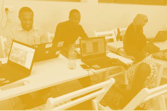
DIDAIhub: Visualization of geospatial data and map making
Create and use maps and visualize geospatial data for dissemination of your work. You are able to evaluate the quality of your work and the effectiveness of the chosen design to convey the desired message to the audience.
Read more →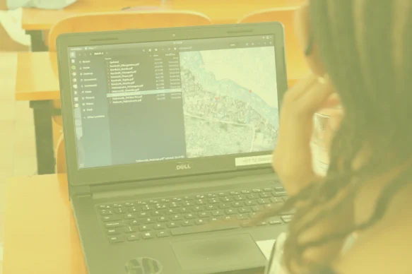
DIDAIhub: Working with interactive webmaps
With this learning module, you are able to critically think about the designing and planning of interactive web maps. You are given the ability to create a simple web map and to further enhance skills in interactive web map creation.
Read more →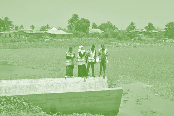
Resilience Academy: Dynamic flood modelling in 2 dimensions
Learn how to establish a detailed 2-dimensional flood schematisation of a river section in Dar es Salaam within a Graphical User Interface, with the explicit idea that they can reproduce this for other (larger, more complex) river systems.
Read more →Resilience Academy: From flood hazard to flood impact
Learn practical skills to turn a hazard map in a flood impact map within the already known QGIS interface. Consolidate knowledge on the concept of hazard, exposure and vulnerability.
Read more →Resilience Academy: Flood zone mapping
Learn hands-on how a digital terrain model and a vector dataset of main streams can be used to make flood zoning maps for these main streams, and what the practical use of such a map is.
Read more →Resilience Academy: Principles of flood mapping strategies
Understand the concepts of flood hazard mapping, flood exposure mapping, flood vulnerability mapping and flood impact. Furthermore, an overview of different approaches to flood hazard simulations will be presented, including static and hydrodynamic (2D and 1D-2D) flood simulation approaches. You will be able to understand the value and do’s and don’ts of the different approaches, […]
Read more →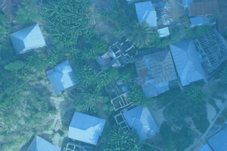
Resilience Academy: Geospatial Data Visualisation Challenge
Learn to apply data visualisation skills via a Data Visualisation Challenge, which is a real-world need-based competition, targeted to make geovisualisations with societal impacts.
Read more →Resilience Academy: Geovisualisation tools
Learn what geospatial datasets and open-source tools can be used to make geovisualisations and digital maps. Know how to use open source GIS software and different geovisualisation tools for static and dynamic geodata visualisations and students know the opportunities and limitations related to these tools.
Read more →Resilience Academy: Geovisualisation principles and examples
Learn the principles of geospatial data visualization and what elements form a good data visualization solution.
Read more →
Resilience Academy: Data sharing in Climate Risk Database
Learn principles of Spatial Data Infrastructures (SDIs) and practical skills in using SDIs and sharing your own data via Climate Risk Database.
Read more →Resilience Academy: Metadata
Learn principles and practical skills to use metadata standards for good quality geospatial data management. After completing the module, you are able to use metadata standards based on ISO19115 and recommendations of the OSGEO, and you are skilled in creating and evaluating the data quality based on metadata, as well as creating metadata of your […]
Read more →Resilience Academy: Geospatial data quality
Learn the principles, hands-on skills and good practices of assessing geospatial data quality, using geospatial data of different origin and characteristics. Practicals utilise datasets from Climate Risk Database.
Read more →Events
View all events →No upcoming events right now
New training sessions, workshops and webinars are announced here. Check back soon, or browse past events.
No past events yet
Recordings and summaries of past sessions will appear here.