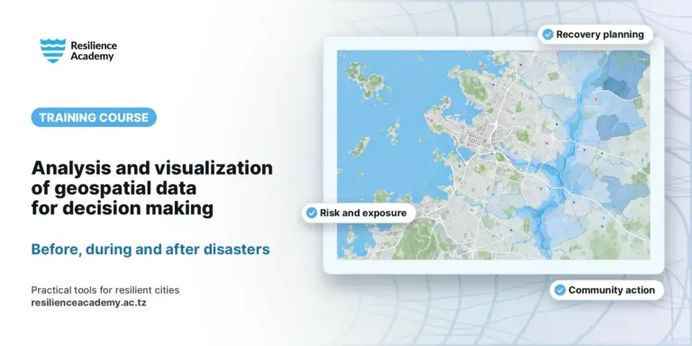
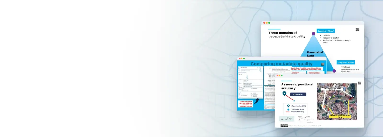
This course teaches students will learn the three domains through which geospatial quality is assessed: geometric (where?), thematic (what?) and temporal (when?) and the four components that cut across them: accuracy, precision and resolution, consistency, and completeness. Students will trace where errors originate, from conceptual and topological mistakes to the effects of generalization and the limits of a GPS signal under a tree canopy.
The course then turns from finding errors to communicating them. Half of the material is devoted to metadata, the “data about data” that lets a dataset travel to someone who did not create it. You will work with the international standards that structure it and read real metadata records from the Resilience Academy’s Climate Risk Database.