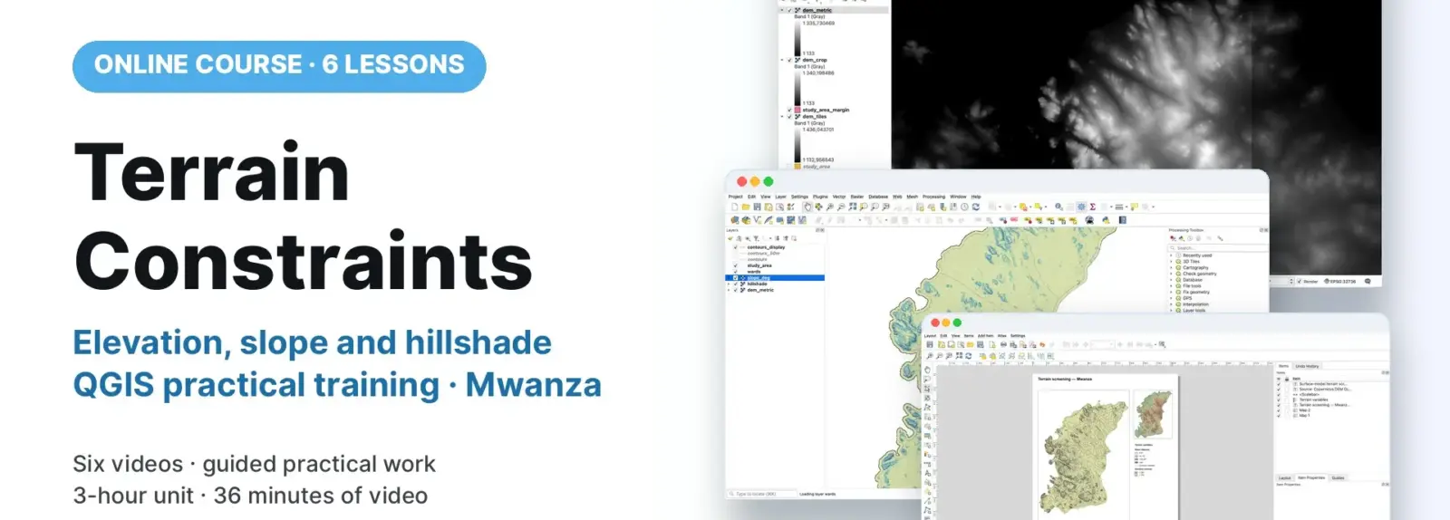
Using Mwanza as the worked example, participants prepare Copernicus GLO-30 data in QGIS, derive slope, hillshade and contours, and produce a documented terrain-screening map. Six demonstrations accompany practical exercises and interpretation. Trainees should already manage a shared QGIS workspace; results support screening rather than engineering or statutory decisions.
COURSE
Terrain Constraints
6 lessons · 6 videos · ~36 min
Taught by Amedeus Raphael Kimaro, Dr. Zakaria Ngereja, Msilikale Msilanga & Niina Käyhkö
LESSONS
6
% complete
DURATION
~36 min
Instructor-led
STUDENTS
1
enrolled
CERTIFICATE
No
not offered for this course
About this course
Participants have better understanding of digital surface models, horizontal and vertical units, processing margins and measurement limitations.
Participants have practical skills in joining, cropping, projecting and documenting elevation data.
Participants have practical skills in deriving and checking slope, hillshade and contours with the specified GDAL algorithms.
Participants have improved competences to style and export readable terrain maps while preserving analytical files.
Course content
%
QGIS: Document and Check the Elevation Raster
Video
QGIS: Derive Slope and Shaded Relief
Video
QGIS: Add Contours and Slope Classes
Video
QGIS: Clip the Display and Colour Relief
Video
QGIS: Lay Out, Export and Explain the Terrain Map
Video
Sign in to access full course content
What learners say
Your instructor
Instructor
Instructor
Instructor
Instructor
Partners involved
Course details
Format
Instructor-led
Language
English
Level
Intermediate
Last updated
October 3, 2026
Certificate
Not included
Share this course
Help someone find this training.
Share…
Share on LinkedIn
Share on X
Share on Facebook
Share on WhatsApp
Share by email
Copy link