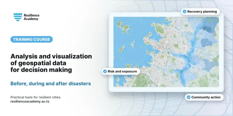
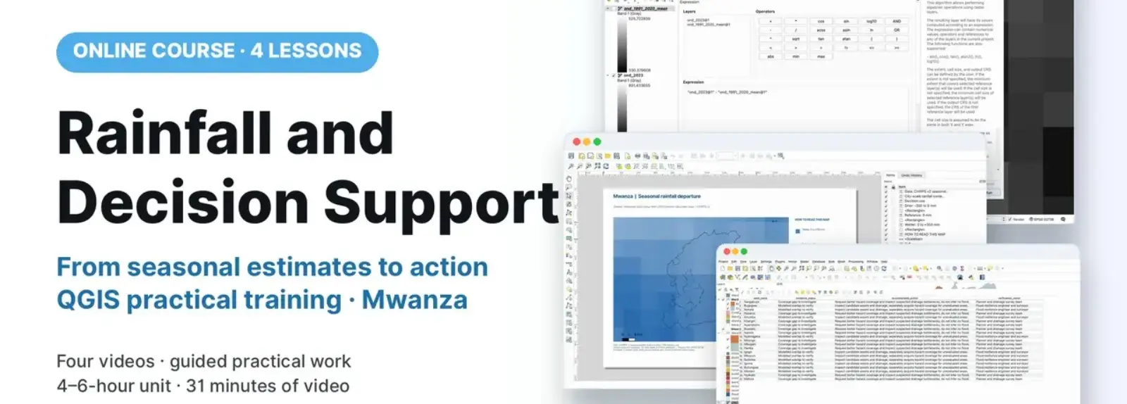
Participants frame an urban resilience decision using seasonal rainfall, model coverage and asset evidence. Using Mwanza as a worked example, they compare CHIRPS October–December 2023 estimates with a 1991–2020 same-season baseline in QGIS. They build a checked ward evidence table, create four maps and prepare an action register and decision note. Four videos accompany a guided practical for planners, engineers, surveyors, flood-resilience and community experts.
COURSE
Rainfall and Decision Support
4 lessons · 4 videos · ~31 min
Taught by Amedeus Raphael Kimaro, Dr. Zakaria Ngereja, Msilikale Msilanga & Niina Käyhkö
LESSONS
4
% complete
DURATION
~31 min
Self-paced
STUDENTS
1
enrolled
CERTIFICATE
No
not offered for this course
About this course
Participants have better understanding of same-season reference periods, product consistency and coarse rainfall support.
Participants have practical skills in calculating a historical mean and seasonal departure while preserving grid and missing-value conventions.
Participants have practical skills in joining ward evidence and mapping model coverage, assets and action categories.
Participants have improved competences to translate evidence and uncertainty into accountable verification actions.
Course content
%
QGIS: Compare a Season with the Rainfall Record
Video
QGIS: Ward Evidence and Decision Maps
Video
From Decision Maps to an Action Register
Video
Sign in to access full course content
What learners say
Your instructor
Instructor
Instructor
Instructor
Instructor
Partners involved
Course details
Format
Self-paced
Language
English
Level
Intermediate
Last updated
October 3, 2026
Certificate
Not included
Share this course
Help someone find this training.
Share…
Share on LinkedIn
Share on X
Share on Facebook
Share on WhatsApp
Share by email
Copy link