
● Ongoing
Dar es Salaam
Living lab · Experiment
DIDAIhub
Digital Data and AI Hub — a community platform for digital data and technology-driven global innovations.
Share…
Share on LinkedIn
Share on X
Share on Facebook
Share on WhatsApp
Share by email
Copy link
About the project
About this project
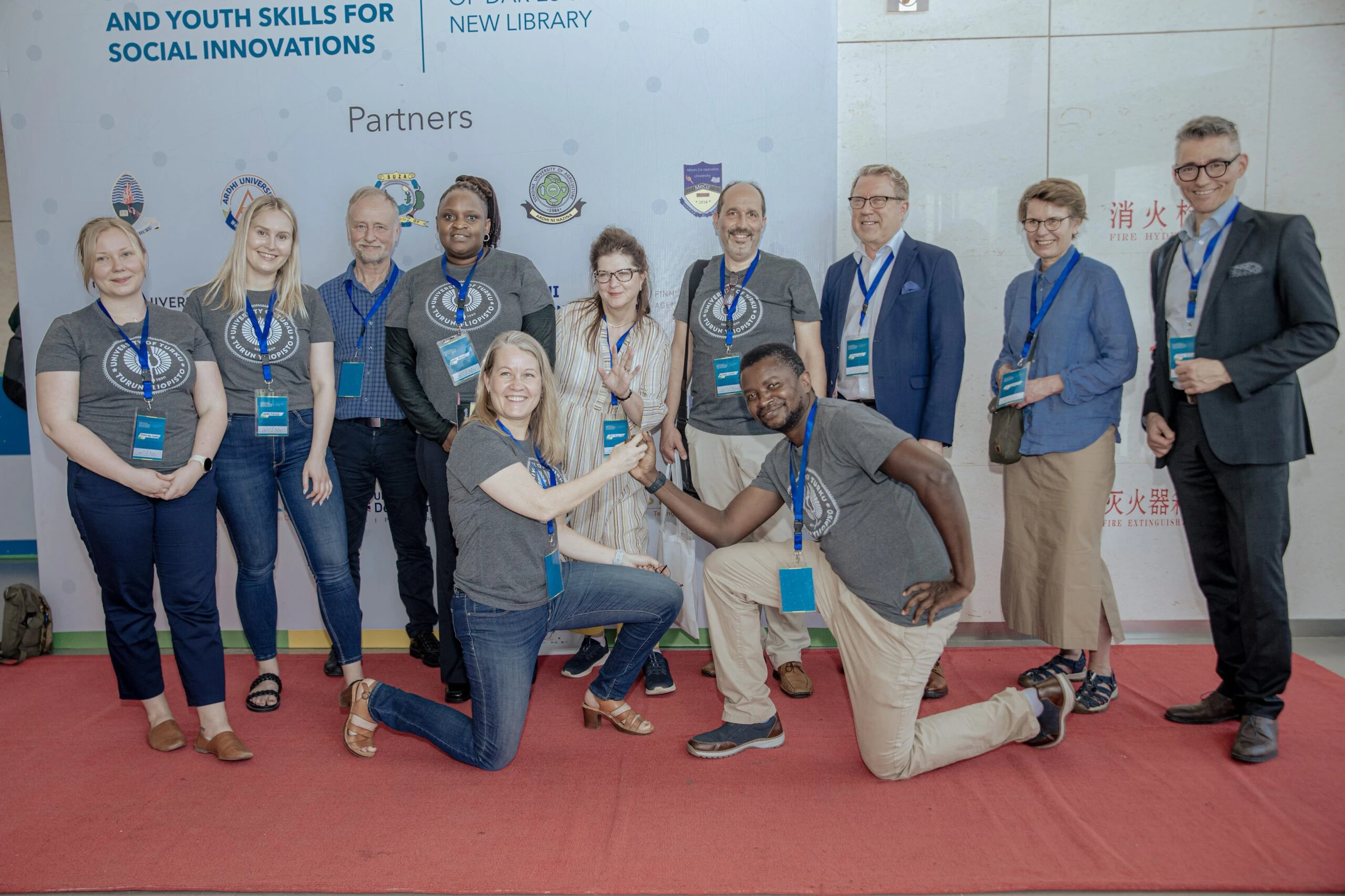
DIDAIhub — the Digital Data and Artificial Intelligence Hub at the University of Turku — is a community platform and a catalyst of innovative research and learning solutions with global impact. It approaches global sustainability challenges with an inclusive, transformative mindset, combining local talent with open data, digital technologies and citizen engagement to co-create impact-based solutions in multi-stakeholder environments.
The hub grew out of two decades of Finland–Tanzania university cooperation (since 2003) and its flagship programmes GeoICT4e and the Tanzania Resilience Academy. It was consolidated in 2022–2023 as the University of Turku's Geospatial and Digital Technology Hub, gathering the tools, playbooks, open data and learning resources developed across dozens of projects into one open community.
DIDAIhub pursues system-level, transformative research across six themes: GeoAI methods and participatory approaches in landscape systems; place- and community-based spatial planning; open digital innovations in climate-service co-creation; digital skills and transformative learning; digital social innovations for sustainable development; and climate mobilities and spatial justice. It shares solution playbooks — such as the Multi-Competence Learning (MCL) Playbook and the Geovisualisation Challenge Blueprint — alongside open geospatial data and tools and open online learning resources.
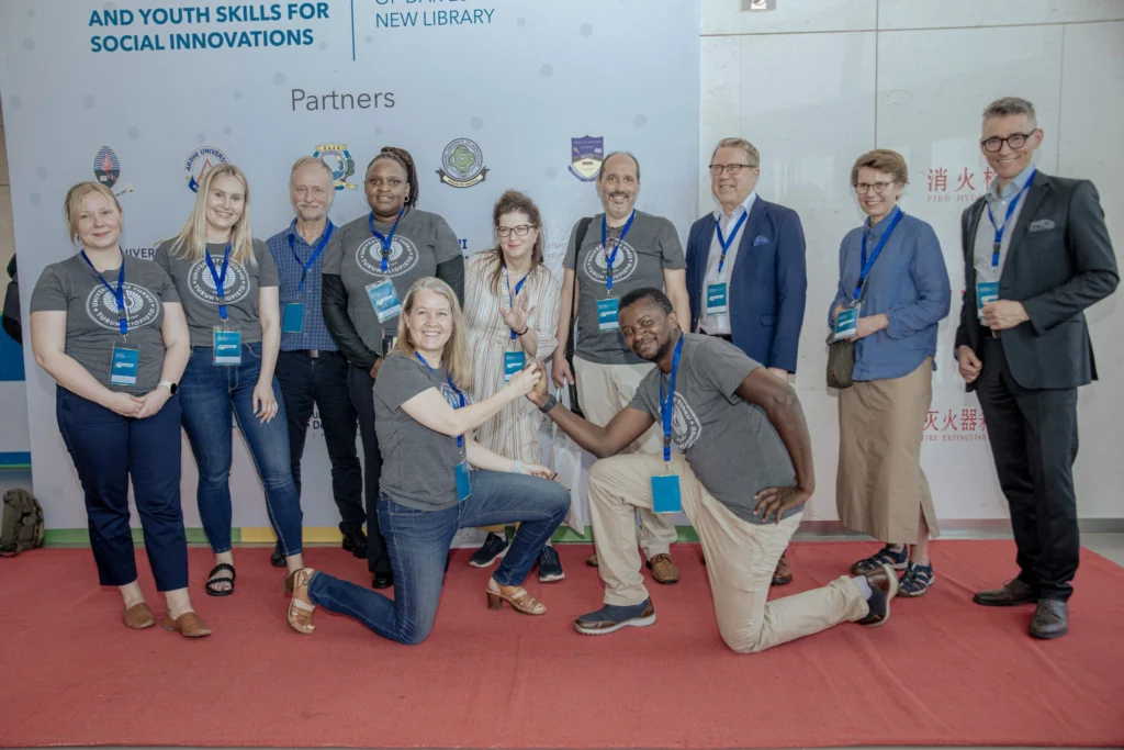
It connects seven Tanzanian and Finnish partner universities — the University of Dar es Salaam, Ardhi University, Sokoine University of Agriculture, the State University of Zanzibar, Moshi Co-operative University, Turku UAS and Novia UAS — with a wider network including Aalto University, the University of Twente, the Finnish Geospatial Research Institute, the National Land Survey of Finland, ICOS, the Kenya Meteorological Department and the Copernicus Academy. Its projects are funded by the World Bank, GIZ, the European Space Agency, Erasmus+, the Academy of Finland and Finland's Ministry for Foreign Affairs, and reach across Tanzania, Finland, Kenya, Germany, Malta, Norway and beyond.
Objectives
- Turn open data, digital tools, skills and competences into actionable, climate-resilient solutions
- Advance GeoAI and participatory approaches for landscape and spatial-planning systems
- Co-create open digital climate services with African cities and communities
- Grow digital skills through challenge-driven, transformative geospatial learning
- Foster digital social innovations, innovation ecosystems and living labs for sustainable development
- Share open solution playbooks, geospatial data and tools, and online learning resources
- Connect experts and partners across Finland, Tanzania and the wider global network
Key activities
Project outputs
Impact, data & learning resources
📈
Impact & outcomes
The wider picture
How this project connects
Everything linked to this project, and what those links add up to.
Counted from the links below, not entered by hand — a person reached through several of them is counted once.
Programs10
-
 Community & Flood-Resilience Mapping
-
 Urban Drainage Mapping
-
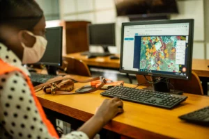 Building-Footprint Digitization
-
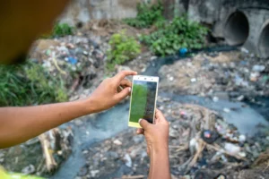 Solid-Waste & Litter Mapping
-
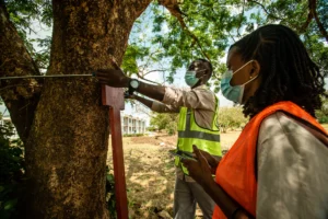 Urban Greening & Tree Mapping
-
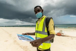 Zanzibar Land, Tourism & Property-Tax Mapping
-
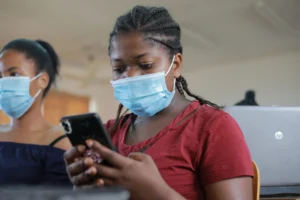 Digital Micro-tasking — Cash for Digital Work
-
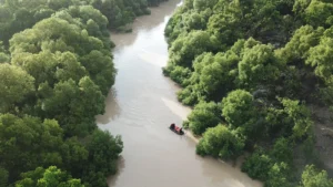 Urban Heat Watch
-
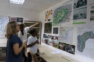 Geospatial Technology & Data Science
-
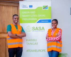 ProWAS SASA Partners training – GIZ ProWAS-SASA
The Programmes are by invitations, request to join if you are Interested in joining one?
Team Members11
-
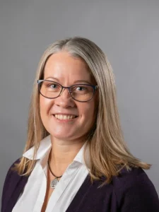 Niina Käyhkö
Hub lead & Principal Investigator University of Turku
Niina Käyhkö
Hub lead & Principal Investigator University of Turku
-
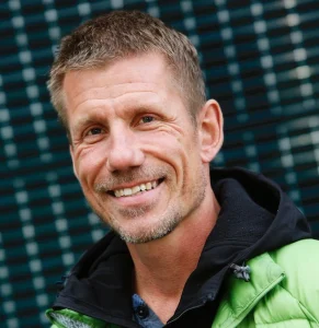 Dr. Jukka Käyhkö
Climate & landscape research University of Turku
Dr. Jukka Käyhkö
Climate & landscape research University of Turku
-
 Dr. Petteri Alho
Geospatial data & Earth observation University of Turku
Dr. Petteri Alho
Geospatial data & Earth observation University of Turku
-
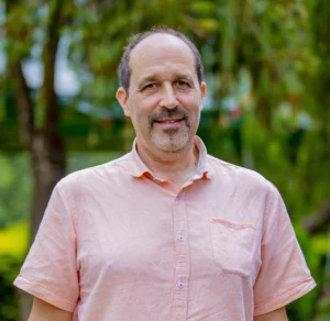 Antero Järvi
Innovation & digital technology University of Turku
Antero Järvi
Innovation & digital technology University of Turku
-
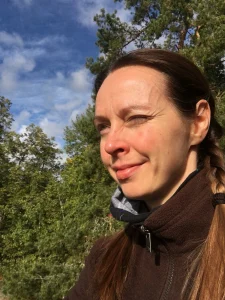 Sanna Maki
E-learning & geovisualisation University of Turku
Sanna Maki
E-learning & geovisualisation University of Turku
-
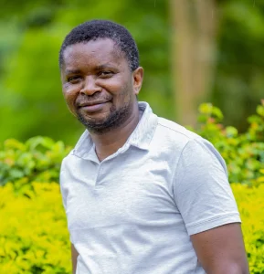 Msilikale Msilanga
Geospatial & MOOC coordination Resilience Academy
Msilikale Msilanga
Geospatial & MOOC coordination Resilience Academy
-
 Dr. Dorothea Deus
Geospatial & ICT technology Ardhi University
Dr. Dorothea Deus
Geospatial & ICT technology Ardhi University
-
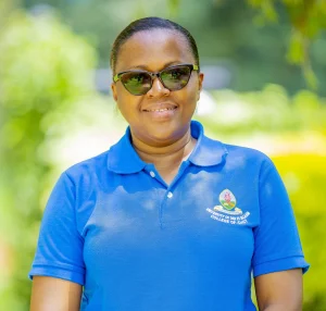 Dr. Mercy Mbise
Challenge-based learning University of Dar es Salaam
Dr. Mercy Mbise
Challenge-based learning University of Dar es Salaam
-
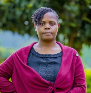 Nelly Babere
Spatial planning & sustainability Ardhi University
Nelly Babere
Spatial planning & sustainability Ardhi University
-
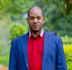 Dr. Ernest Mauya
Landscape & natural resources Sokoine University of Agriculture
Dr. Ernest Mauya
Landscape & natural resources Sokoine University of Agriculture
-
 Venla Aaltonen
University of Turku
Venla Aaltonen
University of Turku
Courses4
-
 Introduction to Ubuntu Linux
-
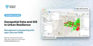 Geospatial Data and GIS in Urban Resilience Management and Planning
-
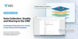 Geospatial Data Collection, Data Quality Management and Sharing in the Climate Risk Database (CRD)
From field collection to the Climate Risk Database — a practical geospatial data lifecycle in KoboToolbox and QGIS.
Geospatial Data Collection, Data Quality Management and Sharing in the Climate Risk Database (CRD)
From field collection to the Climate Risk Database — a practical geospatial data lifecycle in KoboToolbox and QGIS.
-
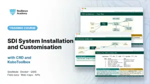 SDI System Installation and Customisation with CRD and KoboToolbox
Install, customise and integrate a full SDI: CRD (GeoNode), KoboToolbox, basemaps and APIs.
SDI System Installation and Customisation with CRD and KoboToolbox
Install, customise and integrate a full SDI: CRD (GeoNode), KoboToolbox, basemaps and APIs.
Reports & publications
View all reports →Project partners
This project brings together 1 university or research partner — 1 of the 4 sectors of our living lab.

Have a project in mind?
Partner with Resilience Academy to map hazards, open geospatial data and build resilience with communities across Tanzania.