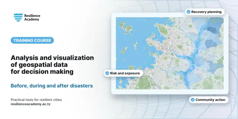
A hands-on training that follows the full geospatial data lifecycle for climate-risk work — from collecting field data to sharing quality-assured datasets in the Climate Risk Database (CRD).
You will design and deploy mobile surveys with KoboToolbox, collect field data with KoboCollect, run core QGIS geoprocessing and spatial analysis (clip, intersect, union, spatial joins, the Field Calculator, zonal statistics, heatmaps and risk scoring), manage and repair data quality, visualise rasters and terrain, and finally create metadata and upload validated data to the CRD.
Delivered in Tanga (9–12 March 2026) as part of the GIZ–Resilience Academy programme. Every module comes with an illustrated practical guide, and a short self-check quiz at the end lets you confirm the key concepts.