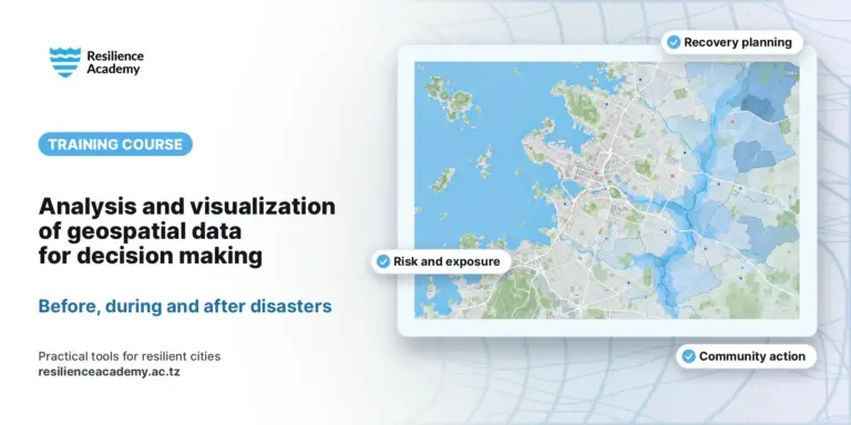
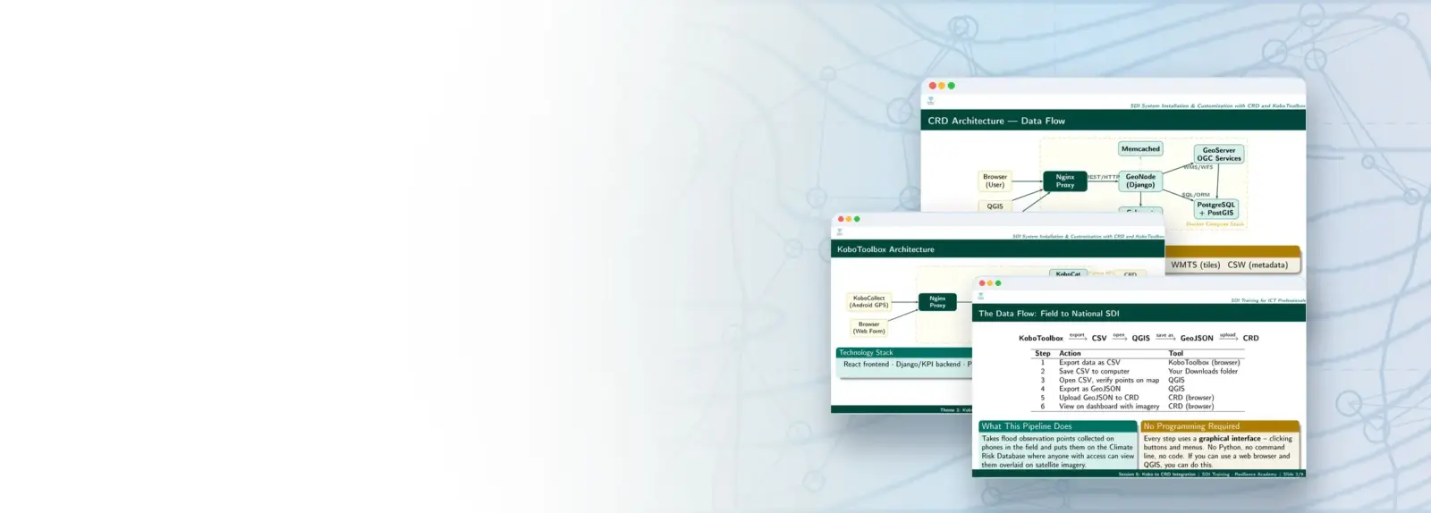
Four-day technical training on building and running a Spatial Data Infrastructure with the Climate Risk Database (GeoNode) and KoboToolbox, using live Tanga and Mwanza data from crd.resilienceacademy.ac.tz.
COURSE
SDI System Installation and Customisation with CRD and KoboToolbox
22 lessons · 1 reading, 7 slidess, 14 practicals · 4 days
Taught by Massoud Hamad & Msilikale Msilanga
Install, customise and integrate a full SDI: CRD (GeoNode), KoboToolbox, basemaps and APIs.
LESSONS
22
% complete
DURATION
4 days
Instructor-led
STUDENTS
2
enrolled
CERTIFICATE
No
not offered for this course
About this course
Set up a complete SDI development environment with Docker, Git and Linux
Install, customise and administer a Climate Risk Database (GeoNode) instance
Deploy self-hosted KoboToolbox and integrate its data into the CRD
Use the CRD as a WMS basemap and consume its REST API from QGIS, Python and the browser
Course content
%
Theme 1 · Software and applications for SDI work
Slides
Theme 1 · Server environments
Slides
Theme 1 · DevOps: Git, Docker and Docker Compose
Slides
Practical 1.1 · Setting up the local development environment
Practical · hands-on
Practical 1.2 · Linux server navigation
Practical · hands-on
Practical 1.3 · DevOps essentials: Git, Docker, Docker Compose
Practical · hands-on
Theme 2 · CRD architecture and live platform walkthrough
Slides
Practical 2.1 · CRD installation with Docker
Practical · hands-on
Practical 2.2 · CRD installation on Ubuntu / bare metal
Practical · hands-on
Practical 2.3 · CRD customisation: branding and settings
Practical · hands-on
Practical 2.4 · Working with Tanga and Mwanza data layers
Practical · hands-on
Theme 3 · KoboToolbox overview, architecture and hosting
Slides
Practical 3.1 · Self-hosted KoboToolbox installation
Practical · hands-on
Practical 3.2 · Configuration and the Tanga flood survey form
Practical · hands-on
Practical 3.3 · Backend maintenance and management
Practical · hands-on
Practical 3.4 · Integrating KoboToolbox with the CRD
Practical · hands-on
Theme 4 · CRD integration, basemaps and APIs
Slides
Practical 4.1 · CRD as a WMS basemap in a Leaflet web app
Practical · hands-on
Practical 4.2 · Linking CRD data to QGIS and Python/GeoPandas
Practical · hands-on
Practical 4.3 · CRD REST API: a Mwanza/Tanga statistics dashboard
Practical · hands-on
Wrap-up, summary and closing
Reading
Sign in to access full course content
What learners say
Your instructor
Instructor
Instructor
Partners involved
Course details
Format
Instructor-led
Language
English
Level
Intermediate
Last updated
October 5, 2026
Certificate
Not included
Share this course
Help someone find this training.
Share…
Share on LinkedIn
Share on X
Share on Facebook
Share on WhatsApp
Share by email
Copy link