
● Ongoing
Dar es Salaam
Living lab · Experiment
Tanzania Resilience Academy
Local talent producing the local data that builds local resilience — and gaining employable skills by doing it.
Share…
Share on LinkedIn
Share on X
Share on Facebook
Share on WhatsApp
Share by email
Copy link
About the project
About this project
The Resilience Academy (RA) is a World Bank–led university partnership and service-delivery programme that improves the digital skills, competences and employment of African youth for more effective disaster-risk management. It is Pillar 4 of the Tanzania Urban Resilience Program (TURP, launched in 2017 by the Government of Tanzania, the World Bank and UK DFID/FCDO), and it grows directly out of Ramani Huria — the Dar es Salaam community-mapping programme that trained hundreds of students and mapped roughly three-quarters of the city into OpenStreetMap.
Tanzanian cities face rising climate risk amid rapid, weakly-planned growth and a shortage of up-to-date digital data. RA closes two gaps at once — the missing climate-risk data and youth unemployment — by having students produce the missing data as they learn. Its guiding principle is that future solutions must be locally driven, low-complexity, fit-for-purpose and youth-engaging, so decisions are reliable, owned locally and actionable over time.
RA delivers through five services: the Climate Risk Database (CRD), the flagship annual mass-internships / industrial training (150–200 students a year since 2019), digital micro-tasking, open e-learning (mini-MOOCs on Digicampus), and research & innovation. More than 1,300 students have been trained since 2016, and the CRD now holds hundreds of open datasets across a dozen-plus Tanzanian cities.
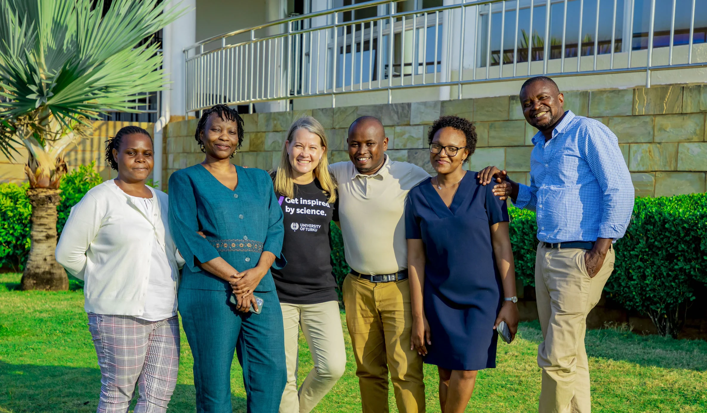
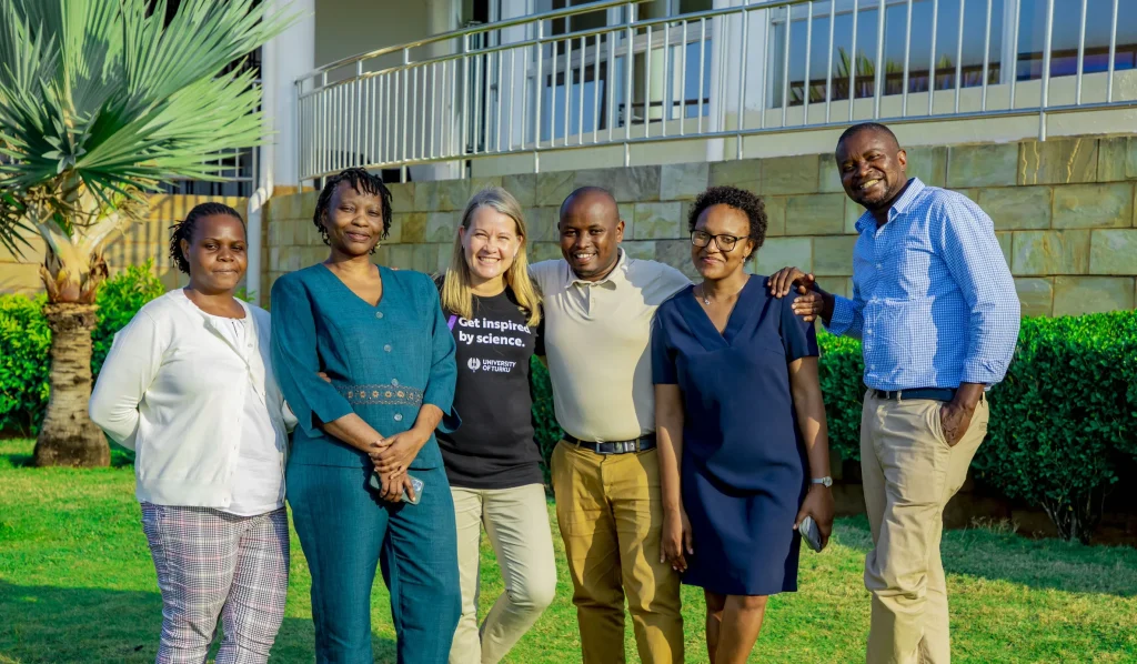
The programme is led by four Tanzanian universities — Ardhi University, the University of Dar es Salaam, Sokoine University of Agriculture and the State University of Zanzibar — with the University of Turku (Finland) as Secretariat and international partners including ITC / University of Twente, TU Delft and TU Dortmund. Its community-mapping backbone is Open Map Development Tanzania (OMDTZ). Governance rotates annually among the universities, with the Tanzania ICT Commission (ICTC) linking the programme to clients and funding. Recent diversification includes GIZ ProWAS-SASA (2024–2026) and BLUE-ZAN.
Objectives
- Build and sustain an open climate-risk data commons — the Climate Risk Database (CRD)
- Train youth in open-source, low-cost geospatial and data skills, on real data
- Engage local communities and ward officials in mapping urban risk
- Create digital-work and employment pathways for young people
- Embed geospatial curricula for credit in partner universities (RA does not self-accredit)
- Pilot out-of-the-box data & technology solutions through research & innovation
Key activities
Project outputs
Impact, data & learning resources
📈
Impact & outcomes
The wider picture
How this project connects
Everything linked to this project, and what those links add up to.
Counted from the links below, not entered by hand — a person reached through several of them is counted once.
Programs10
-
 Community & Flood-Resilience Mapping
-
 Urban Drainage Mapping
-
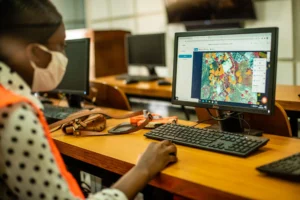 Building-Footprint Digitization
-
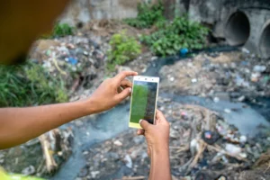 Solid-Waste & Litter Mapping
-
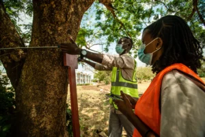 Urban Greening & Tree Mapping
-
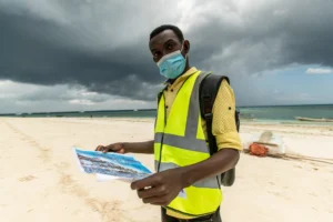 Zanzibar Land, Tourism & Property-Tax Mapping
-
 Digital Micro-tasking — Cash for Digital Work
-
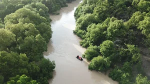 Urban Heat Watch
-
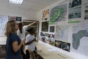 Geospatial Technology & Data Science
-
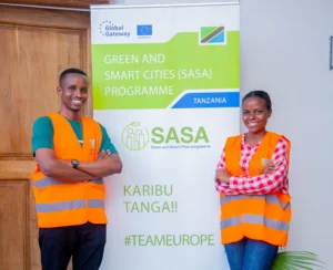 ProWAS SASA Partners training – GIZ ProWAS-SASA
The Programmes are by invitations, request to join if you are Interested in joining one?
Team Members19
-
 Msilikale Msilanga
Resilience Academy Project Manager Resilience Academy
Msilikale Msilanga
Resilience Academy Project Manager Resilience Academy
-
 Niina Käyhkö
Principal Investigator University of Turku
Niina Käyhkö
Principal Investigator University of Turku
-
 Hessel Winsemius
Training materials Delft University of Technology
Hessel Winsemius
Training materials Delft University of Technology
-
 Jeroen Verplanke
Community-mapping curriculum University of Twente
Jeroen Verplanke
Community-mapping curriculum University of Twente
-
 Gideon Marandu
Climate Risk Database Ardhi University
Gideon Marandu
Climate Risk Database Ardhi University
-
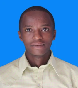 Amedeus Raphael Kimaro
Industrial Training Ardhi University
Amedeus Raphael Kimaro
Industrial Training Ardhi University
-
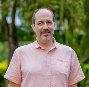 Antero Järvi
Innovations University of Turku
Antero Järvi
Innovations University of Turku
-
 Dr. Mercy Mbise
Resilience Academy coordinator University of Dar es Salaam
Dr. Mercy Mbise
Resilience Academy coordinator University of Dar es Salaam
-
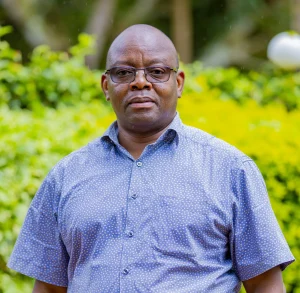 Dr. Zakaria Ngereja
Resilience Academy coordinator Ardhi University
Dr. Zakaria Ngereja
Resilience Academy coordinator Ardhi University
-
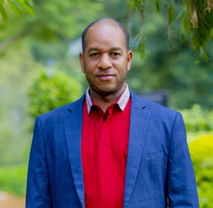 Dr. Ernest Mauya
Resilience Academy coordinator Sokoine University of Agriculture
Dr. Ernest Mauya
Resilience Academy coordinator Sokoine University of Agriculture
-
 Nelly Babere
Training materials Ardhi University
Nelly Babere
Training materials Ardhi University
-
 Massoud Hamad
Climate Risk Database State University of Zanzibar
Massoud Hamad
Climate Risk Database State University of Zanzibar
Courses11
-
 Climate change
-
Climate system
-
Data Visualisation Challenge
-
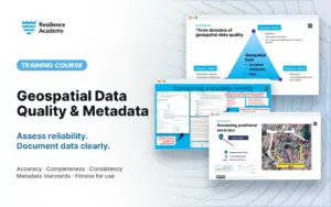 Geospatial data quality and metadata
-
Urban climatology
-
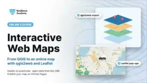 Working with interactive web maps – qgis2web and Leaflet
-
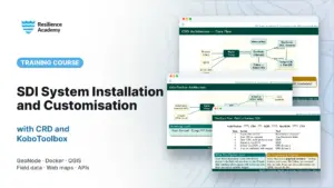 SDI System Installation and Customisation with CRD and KoboToolbox
-
Metadata
-
Introduction to Ubuntu Linux
-
Installation of Geonode System
-
Humans as drivers of climate change
Posts49
-
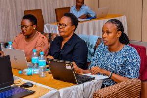 Resilience Academy delivers four-day training on geospatial data collection, quality management, and sharing in the Climate Risk Database across two Tanzanian cities.
-
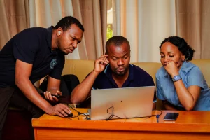 Enhancing Urban Resilience Through Geospatial Data Management: A Training Initiative by Resilience Academy
-
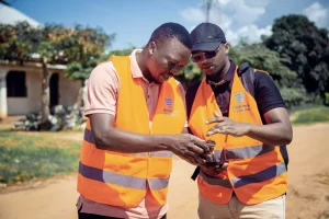 Resilience Academy to Train Youth in Flood Mapping Using Mobile Tools
-
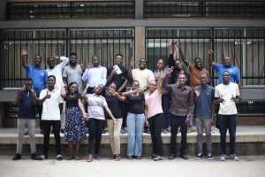 Mapathon to empowers youth with open-data for urban resilience and disaster risk reduction
-
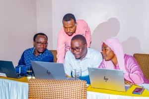 Training Government Officials on Geospatial Data and Open-Source Tools
-
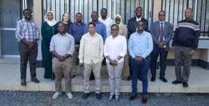 Resilience Academy Partners Strengthen Collaboration for Climate Action in Tanzania
-
 Building Green and Smart Cities Through Youth, Government and Digital Innovation
-
 Geospatial Data Quality Webinar
-
 Finnish Universities and Tanzanian Partners Create Future Collaborations
-
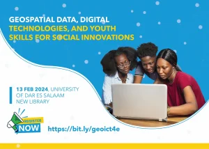 Geospatial data, technologies & digital youth skills for social innovations
-
 Transformative climate services for decision-makers based on observational data
-
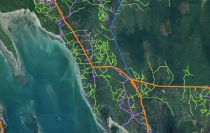 Mapping the evolution of Unguja’s road infrastructure
Reports & publications
View all reports →Project partners
This project brings together 5 universities & research partners and 1 community organisation — 2 of the 4 sectors of our living lab.




Have a project in mind?
Partner with Resilience Academy to map hazards, open geospatial data and build resilience with communities across Tanzania.