
● Ongoing
Mwanza
Living lab · Experiment
Resilience Academy for ProWAS-SASA
Water security and climate resilience for urban areas in Tanga and Mwanza — through open geospatial data and youth-driven digital solutions.
Share…
Share on LinkedIn
Share on X
Share on Facebook
Share on WhatsApp
Share by email
Copy link
About the project
About this project
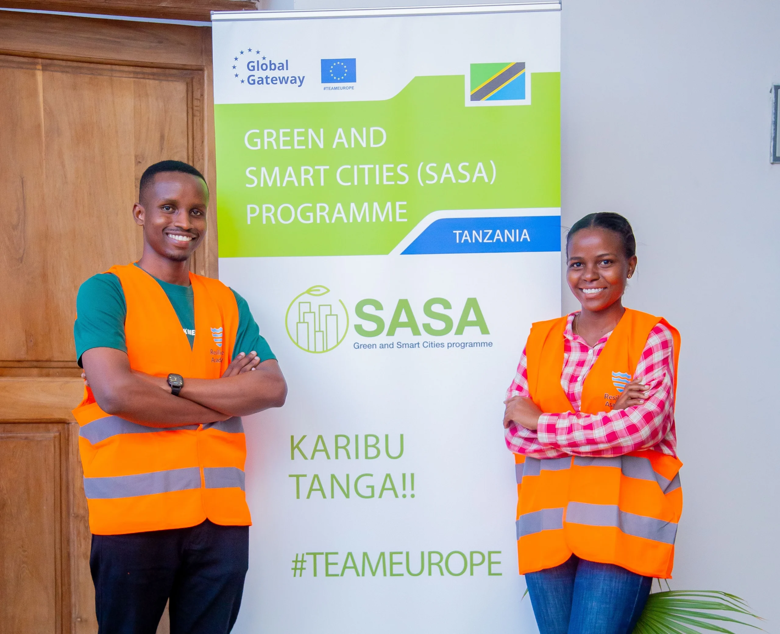
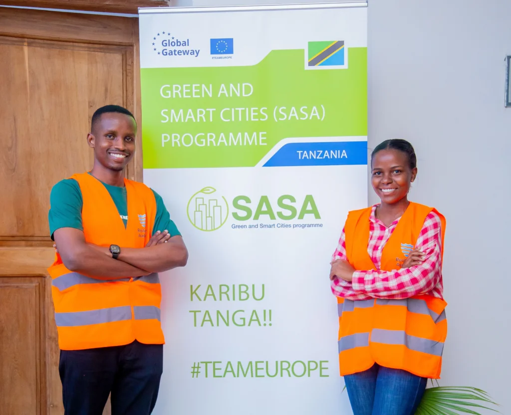
Resilience Academy for ProWAS-SASA is the Tanzania Resilience Academy's contribution to "Green and Smart Cities SASA" — a Team Europe Initiative for water security and climate resilience in urban Tanzania, financed by Germany's BMZ and the European Union and implemented by GIZ. Under a grant to the University of Turku (Grant Agreement 81310675, up to €259,993.25 within the €7 million whole programme, Nov 2024 to 2026), it strengthens the capacities of Tanga and Mwanza stakeholders — including Tanga UWASA, MWAUWASA, the Lake Victoria Basin and Pangani Basin Water Boards, and the RA universities — to use open geospatial data, digital tools and community-youth-driven approaches for climate-resilient urban development and water management.
The two cities face acute water-security and flood risk: Mwanza, on the shores of Lake Victoria, floods seasonally and struggles with industrial wastewater, while Tanga, on the Indian Ocean coast, has inadequate drainage and rising flood exposure. The project curates and opens the geospatial data these cities need, trains officials, students and communities to use it, and embeds it in decision-making through the Climate Risk Database (CRD).
Delivered by the University of Turku with Ardhi University, the University of Dar es Salaam, Sokoine University of Agriculture and the State University of Zanzibar, it works through the Resilience Academy's four methods — student industrial and practical training, the Climate Risk Database data commons, open online learning resources, and research and innovation. Its three outputs improve the availability and access to open geospatial datasets; the skills of stakeholders to use open-source data and tools; and the awareness and long-term sustainability of RA's digital services.
By mid-2026 the project had grown the Climate Risk Database to 344 open datasets, 41 thematic maps and 700+ members; completed a 7,169-household flood survey across two Tanga wards (Mnyanjani and Mabawa), producing seven thematic flood maps; trained 51 government officials and water-authority staff across Mwanza and Tanga; collected 150 new geospatial datasets; and hosted the "Water Security and Climate Resilience Visualisation Challenge" — 85 student applicants narrowing to six finalist teams, won by a Sokoine University group mapping population pressure against drainage-infrastructure gaps in Mwanza.
Objectives
- Curate and open geospatial datasets for Tanga and Mwanza in the Climate Risk Database (CRD)
- Run a community-and-student flood-mapping campaign in Tanga and Mwanza
- Train government officials, water authorities, students and alumni in open-source geospatial tools
- Develop open online training materials and micro-MOOCs on the CRD
- Establish a Community of Practice and a dedicated ProWAS-SASA web presence
- Host a Data Visualisation Challenge on water security and climate resilience
- Advance gender-active participation (50% female) and youth employability
Key activities
Project outputs
Impact, data & learning resources
📈
Impact & outcomes
The wider picture
How this project connects
Everything linked to this project, and what those links add up to.
Counted from the links below, not entered by hand — a person reached through several of them is counted once.
Programs3
-
 ProWAS SASA Partners training – GIZ ProWAS-SASA
-
 Mapathon to empowers youth with open-data for urban resilience and disaster risk reduction
-
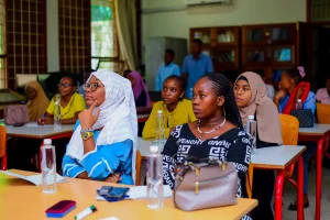 Data curation events empower students to strengthen the Climate Risk Database with quality geospatial data
The Programmes are by invitations, request to join if you are Interested in joining one?
Team Members11
-
 Niina Käyhkö
Project Leader & Principal Investigator University of Turku
-
 Msilikale Msilanga
Project Manager Resilience Academy
-
 Khairiya Masoud
Project expert State University of Zanzibar
-
 Dr. Ernest Mauya
University coordinator Sokoine University of Agriculture
-
 Dr. Mercy Mbise
University coordinator University of Dar es Salaam
-
 Dr. Mary Khatib
University coordinator State University of Zanzibar
-
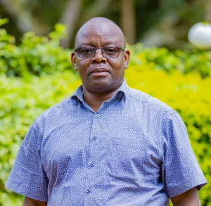 Dr. Zakaria Ngereja
University coordinator Ardhi University
-
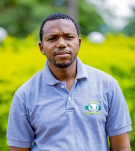 Massoud Hamad
Technical expert & SDI training State University of Zanzibar
-
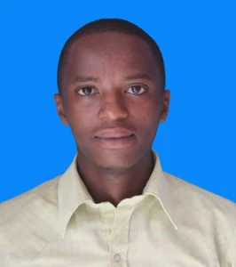 Amedeus Raphael Kimaro
GIS & mapping trainer Ardhi University
-
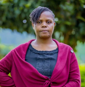 Nelly Babere
University expert Ardhi University
-
 Dr. Zahor K. Zahor
University expert University of Dar es Salaam
Courses8
-
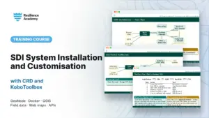 SDI System Installation and Customisation with CRD and KoboToolbox
-
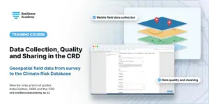 Geospatial Data Collection, Data Quality Management and Sharing in the Climate Risk Database (CRD)
-
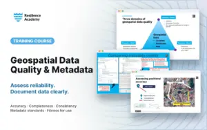 Geospatial data quality and metadata
-
 Installation of Geonode System
-
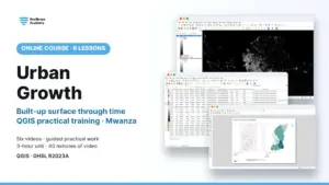 Urban Growth
-
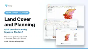 Land Cover and Planning
-
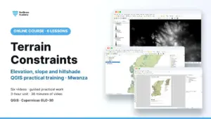 Terrain Constraints
-
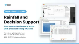 Rainfall and Decision Support
Events2
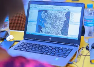
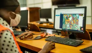
Posts6
-
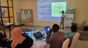 Resilience Academy Participates in HYSIM Training: Strengthening Water Resource Management Capabilities in Tanga
-
 85 students and alumni engaged in the 2025 Data Visualization Challenge to develop geovisualization solutions supporting urban water and climate resilience decision-making in Tanga and Mwanza.
-
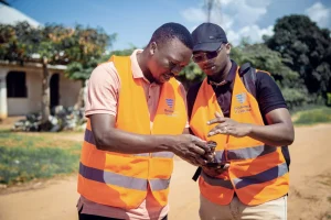 Resilience Academy to Train Youth in Flood Mapping Using Mobile Tools
-
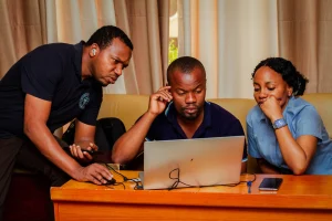 Enhancing Urban Resilience Through Geospatial Data Management: A Training Initiative by Resilience Academy
-
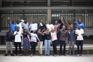 Mapathon to empowers youth with open-data for urban resilience and disaster risk reduction
-
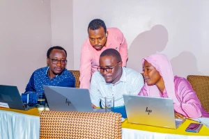 Training Government Officials on Geospatial Data and Open-Source Tools
Reports & publications
View all reports →Project partners
This project brings together 5 universities & research partners — 1 of the 4 sectors of our living lab.






Have a project in mind?
Partner with Resilience Academy to map hazards, open geospatial data and build resilience with communities across Tanzania.