
● Completed
Dar es Salaam
Living lab · Evaluate
GeoICT4e
Social innovations in Geo-ICT education at Tanzanian HEIs for improved employability.
Share…
Share on LinkedIn
Share on X
Share on Facebook
Share on WhatsApp
Share by email
Copy link
About the project
About this project
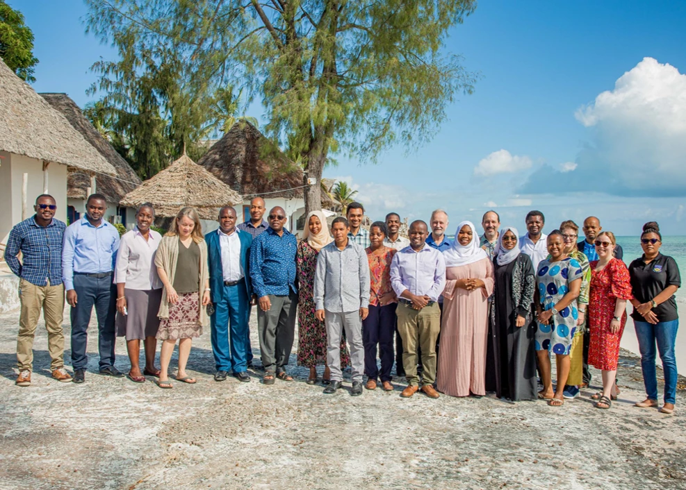
GeoICT4e — “Social innovations in Geo-ICT education at Tanzanian HEIs for improved employability” — is a 2020–2024 higher-education partnership funded by Finland's Ministry for Foreign Affairs through the HEI-ICI instrument (EDUFI), with a total budget of €2,437,500. Its main outcome is that Tanzanian universities improve their management and teaching capacities in impact-driven, socially innovative geospatial and ICT education, leading to better graduate employment.
An eight-university consortium delivers it, coordinated by the University of Turku with Turku University of Applied Sciences and Novia UAS from Finland, and five Tanzanian universities — the University of Dar es Salaam, Ardhi University, Sokoine University of Agriculture, the State University of Zanzibar and Moshi Co-operative University. It builds on two decades of UTU–Tanzania cooperation (since 2003) and the preceding HEI-GIS (2013–15) and Geo-ICT (2017–2020) projects.
The central method is Multi-Competence Learning (MCL) — a challenge-based approach delivered through five co-creative “challenge campaigns” (2–3 months each), organised with innovation-ecosystem actors and problem owners such as Dlab, Sahara Ventures and Funzi. Students develop four competence domains at once: understanding real societal problems in space and time; collecting and using open geospatial data and open-source Geo-ICT tools; working in multi-stakeholder teams; and designing climate-smart, resource-efficient solutions.
GeoICT4e produces three outputs: HEI staff able to plan and run MCL teaching (25–30 staff, five campaigns, 100+ professional visits); students with open access to digital e-learning assets — a Tanzania GeoNode of 200–300 datasets and 40–50 nugget-sized mini-MOOCs on the Digicampus platform; and 1,000–1,500 students with improved digital multi-competences. The practices are captured in a Multi-Competence Learning (MCL) Playbook, and 10–12 degree programmes with 50+ courses are revised with open digital content. The project couples tightly with the World Bank–funded Tanzania Resilience Academy, which supplies digitally literate students from its mass-internships, and follows a gender-active (50% female) and Citizen-Panel community-engagement approach.
Objectives
- Build HEI staff capacity to plan and deliver Multi-Competence Learning (MCL) in geospatial and ICT teaching
- Run five co-creative challenge campaigns with innovation-ecosystem actors and problem owners
- Open up digital e-learning assets — a Tanzania GeoNode (200–300 datasets) and 40–50 mini-MOOCs on Digicampus
- Improve the digital skills and multi-competences of 1,000–1,500 Tanzanian students
- Revise 10–12 degree programmes and 50+ courses with open digital learning content
- Publish a Multi-Competence Learning (MCL) Playbook for scalability across Africa
- Advance gender-active participation (50% female target) and Citizen-Panel community engagement
Key activities
Project outputs
Impact, data & learning resources
📈
Impact & outcomes
The wider picture
How this project connects
Everything linked to this project, and what those links add up to.
Counted from the links below, not entered by hand — a person reached through several of them is counted once.
Team Members13
-
 Niina Käyhkö
Project Coordinator & PI University of Turku
Niina Käyhkö
Project Coordinator & PI University of Turku
-
 Dr. Jukka Käyhkö
Climate & sustainability team University of Turku
Dr. Jukka Käyhkö
Climate & sustainability team University of Turku
-
 Dr. Petteri Alho
Geospatial data team University of Turku
Dr. Petteri Alho
Geospatial data team University of Turku
-
 Antero Järvi
Innovation & entrepreneurship team University of Turku
Antero Järvi
Innovation & entrepreneurship team University of Turku
-
 Sanna Maki
E-learning & curricula team University of Turku
Sanna Maki
E-learning & curricula team University of Turku
-
 Msilikale Msilanga
Geospatial/ICT & MOOC expert Resilience Academy
Msilikale Msilanga
Geospatial/ICT & MOOC expert Resilience Academy
-
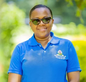 Dr. Mercy Mbise
Challenge-based learning team University of Dar es Salaam
Dr. Mercy Mbise
Challenge-based learning team University of Dar es Salaam
-
 Dr. Dorothea Deus
Geospatial & ICT technology team Ardhi University
Dr. Dorothea Deus
Geospatial & ICT technology team Ardhi University
-
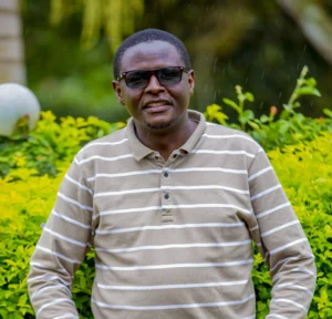 Dr. George Matto
E-learning & curricula team Moshi Cooperative University
Dr. George Matto
E-learning & curricula team Moshi Cooperative University
-
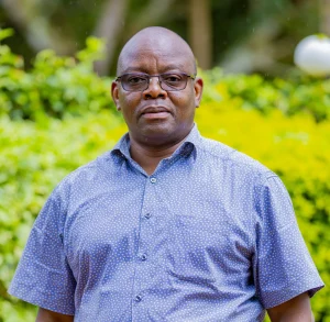 Dr. Zakaria Ngereja
E-learning & curricula team Ardhi University
Dr. Zakaria Ngereja
E-learning & curricula team Ardhi University
-
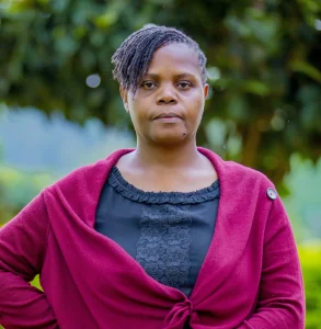 Nelly Babere
Climate & sustainability team Ardhi University
Nelly Babere
Climate & sustainability team Ardhi University
-
 Dr. Ernest Mauya
Domain team Sokoine University of Agriculture
Dr. Ernest Mauya
Domain team Sokoine University of Agriculture
Courses6
-
 Geospatial Data and GIS in Urban Resilience Management and Planning
-
 Spatial Analysis with QGIS
-
 Mapping and Analysing Your City with QGIS, Global Open Data and the Climate Risk Database (CRD)
-
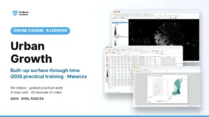 Urban Growth
-
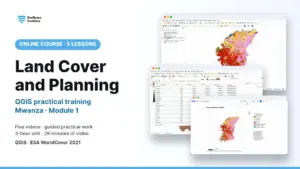 Land Cover and Planning
-
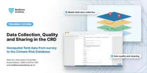 Geospatial Data Collection, Data Quality Management and Sharing in the Climate Risk Database (CRD)
From field collection to the Climate Risk Database — a practical geospatial data lifecycle in KoboToolbox and QGIS.
Geospatial Data Collection, Data Quality Management and Sharing in the Climate Risk Database (CRD)
From field collection to the Climate Risk Database — a practical geospatial data lifecycle in KoboToolbox and QGIS.
Posts32
-
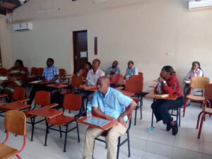 Ardhi University Hosts Successful GeoICT4e Dissemination & Training: Raising Awareness on eLearning & Project Impact
-
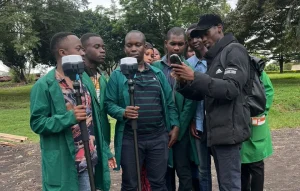 Enhancing Timber Harvesting Planning with Centimeter Precision: The Role of Emlid Reach RS2 GPS Receivers in GeoICT4e’s Educational Transformation
-
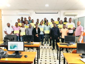 GEOICT4e concludes 8 weeks of the Multi competence Challenge Learning Program
-
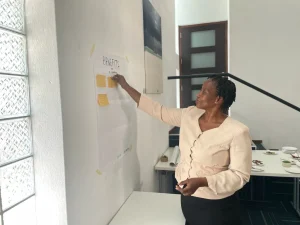 GeoICT4e experts delve into local e-learning and challenge -based learning solutions in Tanzania
-
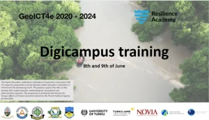 DigiCampus Training for GeoICT4e and Resilience Academy experts
-
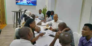 Kick-off to Multicompetence Learning and GeoICT4e Ways to Work
-
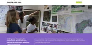 GeoICT4e project gets started
-
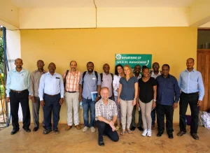 Application for GeoICT4e successfully submitted
-
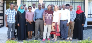 Resilience Academy and GeoICT4e training to university experts on e-learning using Digicampus
-
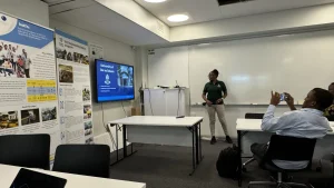 Tanzanian and Finnish Universities Explore Research and Education Cooperation Opportunities
-
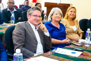 Visit of EU Heads of Mission to Sokoine University of Agriculture, April 29, 2024
-
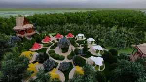 Pande Game Reserves: From Hidden Treasure to Premier Tourist Destination
Reports & publications
View all reports →Project partners
This project brings together 8 universities & research partners — 1 of the 4 sectors of our living lab.







Have a project in mind?
Partner with Resilience Academy to map hazards, open geospatial data and build resilience with communities across Tanzania.