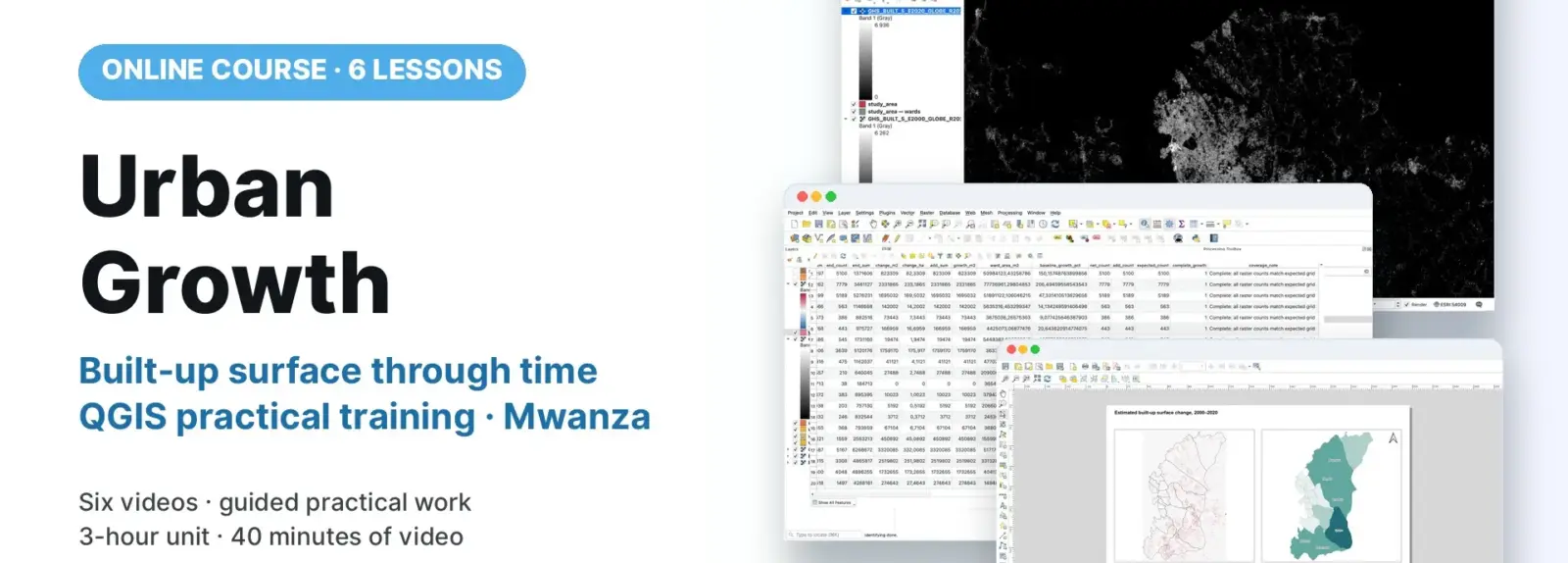
Participants compare historical GHSL built-up surface estimates for 2000 and 2020 in QGIS, using Mwanza as the worked example. They preserve a shared equal-area grid, calculate signed and positive change, summarise by ward, and test coverage and reconciliation. Six demonstrations accompany guided exercises and map interpretation. The workflow supports planning investigation rather than a building census or legal land-use determination.
COURSE
Urban Growth
6 lessons · 6 videos · ~40 min
Taught by Amedeus Raphael Kimaro, Dr. Zakaria Ngereja & Msilikale Msilanga
Open to members of Ardhi University.
LESSONS
6
% complete
DURATION
~40 min
Self-paced
STUDENTS
1
enrolled
CERTIFICATE
No
not offered for this course
About this course
Participants have better understanding of comparable historical datasets, equal-area grids and square-metres-per-cell values.
Participants have practical skills in preparing matched crops and calculating signed change and positive added surface.
Participants have practical skills in deriving ward indicators with correct units and valid denominators.
Participants have improved competences to check expected coverage and reconcile ward and whole-area totals.
Course content
%
QGIS: Prepare a Shared Grid and Signed Change
Video
QGIS: Check Gains and Sum Built-up Surface by Ward
Video
QGIS: Calculate Ward Change and Check Coverage
Video
QGIS: Reconcile Ward Totals and Style Change
Video
QGIS: Lay Out and Interpret the Change Map
Video
Sign in to access full course content
What learners say
Your instructor
Instructor
Instructor
Instructor
Partners involved
Course details
Format
Self-paced
Language
English
Level
Intermediate
Last updated
October 3, 2026
Certificate
Not included
Share this course
Help someone find this training.
Share…
Share on LinkedIn
Share on X
Share on Facebook
Share on WhatsApp
Share by email
Copy link