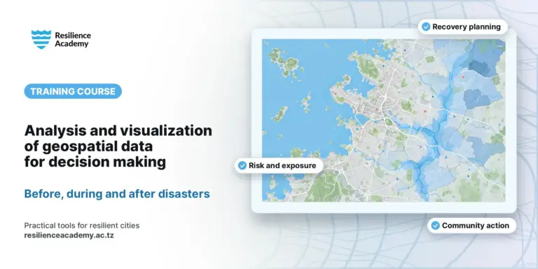
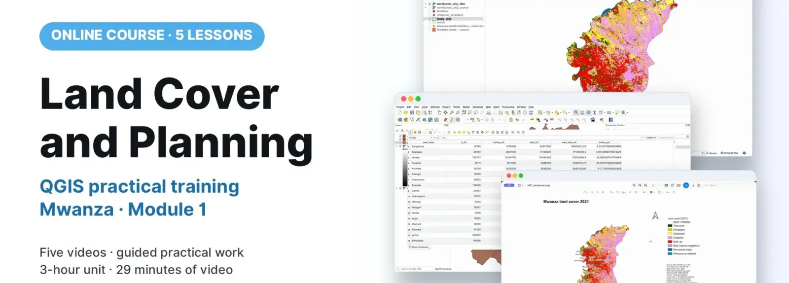
This practical training unit introduces land-cover preparation, ward summaries and planning-context map production in QGIS, using Mwanza as the worked example. Participants prepare ESA WorldCover 2021 v200 data, calculate approximate mapped class areas and create a readable map with sources and limitations. It is intended for trainees who need to use GIS evidence in planning discussions and have completed the shared workspace preparation. Five short video lessons accompany the finalised M01 guide, hands-on exercises and trainer-led interpretation. Land-cover classes are treated as mapped surface evidence, not statutory land-use designations.
COURSE
Land Cover and Planning
5 lessons · 5 videos · ~29 min
Taught by Amedeus Raphael Kimaro, Dr. Zakaria Ngereja & Msilikale Msilanga
Open to members of Ardhi University.
LESSONS
5
% complete
DURATION
~29 min
Self-paced
STUDENTS
1
enrolled
CERTIFICATE
No
not offered for this course
About this course
Users have better understanding of categorical land-cover codes and the distinction between land cover and statutory land use.
Users have practical skills in joining, clipping and checking WorldCover rasters on a projected analysis grid.
Users have practical skills in calculating ward class counts, approximate mapped areas and percentages with an explicit valid mapped denominator.
Users have improved competences to style, label and export readable planning-context maps and reusable print layouts.
Course content
%
QGIS: Check Land Cover Codes and Save an Analysis Raster
Video
QGIS: Summarise Land Cover by Ward
Video
QGIS: Style Land Cover and Compose the Map
Video
QGIS: Finish and Export the Planning Map
Video
Sign in to access full course content
What learners say
Your instructor
Instructor
Instructor
Instructor
Course details
Format
Self-paced
Language
English
Level
Intermediate
Last updated
October 3, 2026
Certificate
Not included
Share this course
Help someone find this training.
Share…
Share on LinkedIn
Share on X
Share on Facebook
Share on WhatsApp
Share by email
Copy link