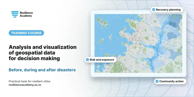
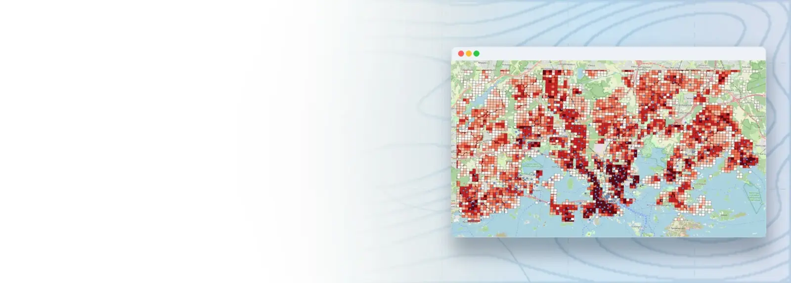
This course introduces basic spatial operations in QGIS, the free and open-source desktop GIS. It follows the open tutorials “Spatial Analysis with QGIS” published by Aalto University (qgis-tutorials.readthedocs.io) and keeps their content, figures and exercise data. Participants learn the QGIS user interface, get data into QGIS from files, online sources, geocoding and web services, manage data in Geopackage databases, and carry out vector processing, raster processing, layer operations and vector–raster conversions on real open data from the Helsinki region. It is designed for beginners and early GIS users and is delivered as 18 step-by-step practical guides grouped into seven modules.
COURSE
Spatial Analysis with QGIS
18 lessons · 18 documents · ~5 hr 30 min
Taught by Msilikale Msilanga & Amedeus Raphael Kimaro
Open to members of Ardhi University.
LESSONS
18
% complete
DURATION
~5 hr 30 min
Self-paced
STUDENTS
3
enrolled
CERTIFICATE
No
not offered for this course
About this course
Participants have better understanding of the QGIS user interface, layers and coordinate reference systems
Participants have practical skills in getting data into QGIS from files, manual digitising, geocoding and web feature services, and in storing it in Geopackage databases
Participants have practical skills in vector processing (Voronoi polygons, distance matrix, buffers, dissolve, field calculation), raster processing (map algebra, histograms), layer operations (clip, intersection, merge) and vector–raster conversion
Participants have improved competences to choose suitable tools and coordinate systems for a spatial question and to interpret the results
Course content
%
QGIS 2.1 – Download and understand a Geopackage
Document
QGIS 2.2 – Style your Layer
Document
QGIS 2.3 – Create a GPKG manually
Document
QGIS 2.4 – Geocoding a new Layer
Document
QGIS 2.5 – Fetching a WFS source Layer
Document
QGIS 3.1 – GPKG as a Database
Document
QGIS 3.2 – Feature selection by area and attribute
Document
QGIS 4.1 – Voronoi polygons
Document
QGIS 4.2 – Distance matrix tool
Document
QGIS 4.3 – Buffer Tool
Document
QGIS 4.4 – Buffer Tool and Dissolve
Document
QGIS 4.5 – Field Calculation
Document
QGIS 5.1 – Map Algebra
Document
QGIS 5.2 – Computing Histogram
Document
QGIS 6.1 – Clip and Intersection tool
Document
QGIS 6.2 – Merging data layers
Document
QGIS 7.1 – Vector-Raster-Vector
Document
Sign in to access full course content
What learners say
Your instructor
Instructor
Instructor
Partners involved
Course details
Format
Self-paced
Language
English
Level
Beginner
Last updated
October 8, 2026
Certificate
Not included
Share this course
Help someone find this training.
Share…
Share on LinkedIn
Share on X
Share on Facebook
Share on WhatsApp
Share by email
Copy link